credit: Kolforn via CC BY-SA 4.0, creative commons.org
For many living in coastal North Carolina, flooding is a normal part of life. The coast is very flat, and tides, heavy rain events, and even wind play important roles in determining water levels.
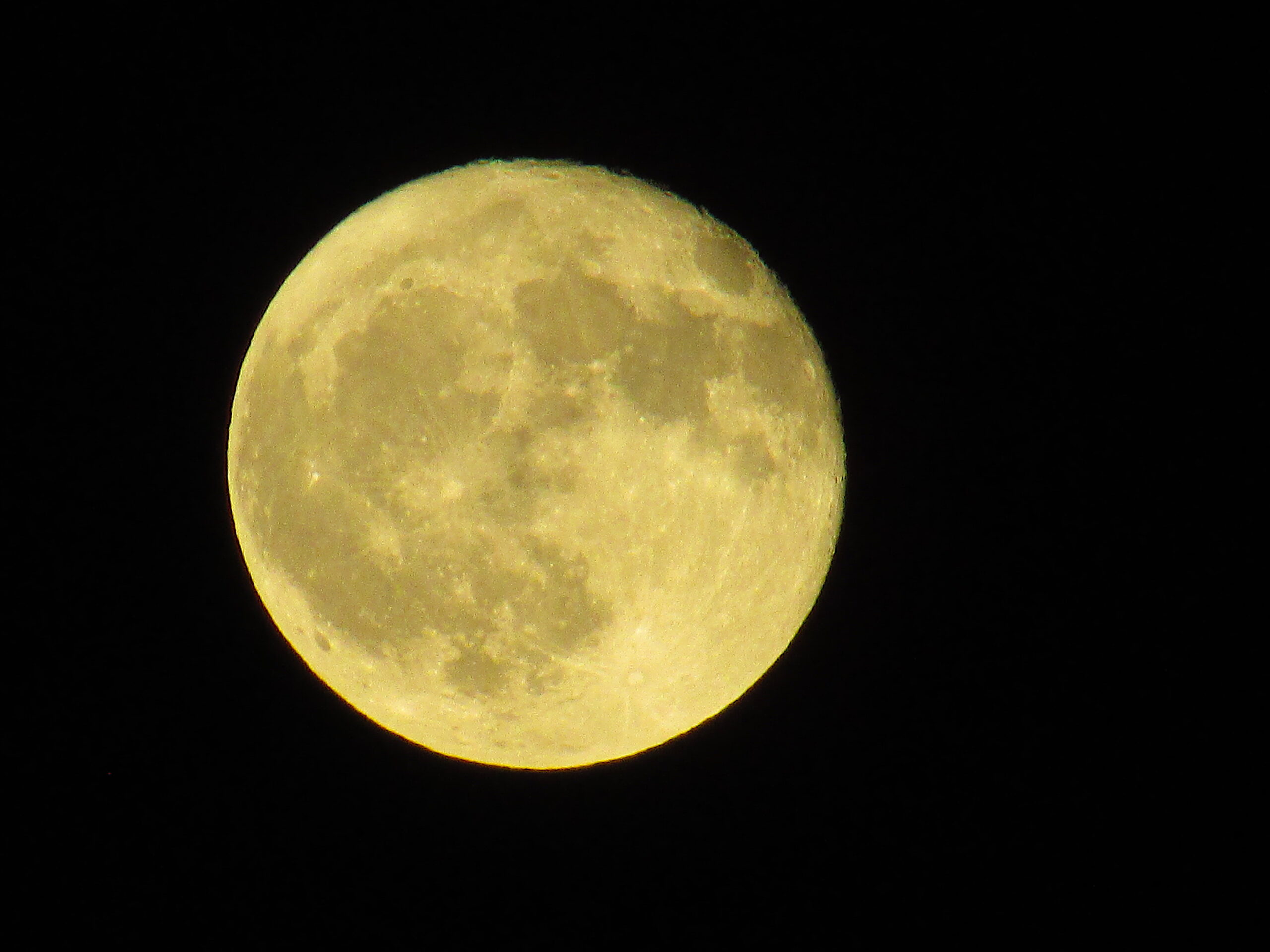
King tides are the highest high and lowest low tide events of the year. They are regular and predictable events that occur when the sun, Earth, and moon are in alignment and the moon is at its closest point to the Earth.
The King Tides Project is an international initiative to document extreme high tide events using photos. These photos can help visualize how “normal” high tides could look in the future due to sea-level rise. These images can then be used to create a record of how our shoreline looks today and track future changes. By visualizing these higher tide events, people can start to understand how rising sea-levels will impact local resources and community investments.
The project not only asks for photos of tidal-related events, but also encourages participants to share photos of any flooding or high-water events they observe.
To learn more on how to share your observations, see the Share Photos page.
View the 2021 King Tides Calendar.
Download the Coastal Observer App.
adapted from the North Carolina King Tides Project Page