Do Anglers Fish in Areas Closed to Fishing?
Despite patrolling and education efforts, an Australian study shows that illegal fishing still occurs — and at predictable times.
November still is prime time for catching grouper in the South Atlantic. Popular deep structures are being hit hard right now by anglers, and some may try to get away from the crowds and fish within a managed area. But while most of the bottom between Cape Hatteras and Key West is open to fishing, some managed areas do not allow bottom fishing. Whether intentionally or accidentally, illegal fishing in these areas may be occurring. If so, how do we solve the problem?
Research Need
For fish populations in trouble, fishery managers sometimes limit or completely disallow fishing in certain areas if they contain critical habitats which support the populations under recovery. In some cases, no fishing is allowed within an area. For example, there are eight marine protected areas between Cape Hatteras and the Florida Keys established to protect several species of the deepwater snapper-grouper complex. The effectiveness of these off-limit fishing areas ultimately depends on enforcement (catching violators and deterring others) and compliance (persuading people to follow the rules).
The assumption is that the overwhelming majority of resource users follow the rules. But, the ocean is vast and monitoring large swaths of it requires intensive labor and resources that many agencies do not possess.
However, if it were possible to predict illegal fishing patterns in managed areas, this might lead to more efficient enforcement and conservation efforts.
What did they study?
Scientists in Australia used shore-based surveillance cameras and a predictive model they created to examine illegal fishing activity at two areas designed to protect threatened black cod and endangered grey nurse sharks. Researchers looked at footage sampled in 30-minute increments collected over the course of more than a year across sites to determine whether boats observed were illegally fishing or not, as well as to document weather conditions (like wind, rain, and wave intensity) and time of day.
What did they find?
Video footage revealed that illegal fishing occurred regularly within the two areas under observation, with higher activity occurring at the site closer to the boat ramp. A total of 185 boats illegally fished during the study, primarily by hook-and-line.
Illegal fishing happened most often on non-working days, like weekends or holidays, and on fair weather days — those with light winds, calm seas, and no wind. Unsurprisingly, these days also were consistent with high recreational activity on the water.
Scientists also found that illegal fishing occurred despite patrolling and education efforts by local fisheries officers.
So what?
Video cameras and modelling can improve the efficiency of fisheries monitoring, by providing managers key insights into the behavior of fishers venturing into managed areas. With better enforcement, species in marine protected areas will have a better chance to thrive.
In the South Atlantic region, most of the managed areas are far offshore, outside the reach of shore-based cameras. However, the predictive model results linking fishing activity to weather, day of week, and time of day are more universal and applicable to areas beyond Australia.
It never hurts to confirm that most rule followers and law breakers appear to dislike fishing offshore in bad weather.
Reading
Davis T.R., Harasti D. Predictive modelling of illegal fishing in no-take marine protected areas. Fish Manag Ecol.2020;27:292–301. https://doi.org/10.1111/fme.12412
Compiled by Allison Fisk
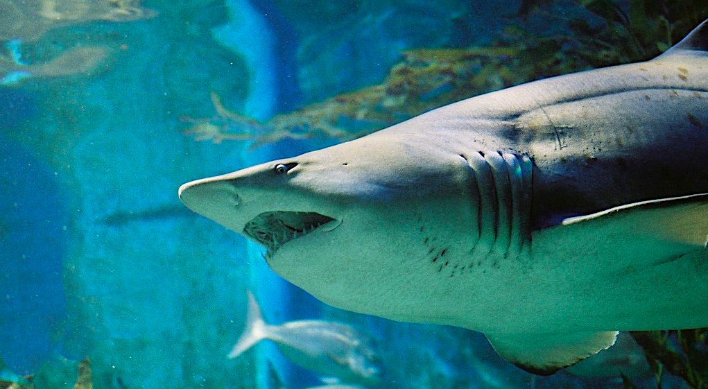
Lead photo: grey nurse shark, Melbourne, courtesy of Reedz Malik, CC BY 2.0
The text from Hook, Line & Science is available to reprint and republish at no cost with this attribution: Hook, Line & Science, courtesy of Scott Baker and Sara Mirabilio, North Carolina Sea Grant.
- Categories: