Shifting fish populations make it difficult to manage fisheries across jurisdictions.
Research Need
As climate change warms oceans, fish populations are moving in response. Along the Atlantic coast, many fish species’ home ranges are expanding northward, meaning warmwater species can inhabit waters that before were too cold and cold-water species are leaving waters that now are too warm. Some studies suggest some species could move hundreds of miles by the end of the century.
These shifts pose challenges for fisheries managers, since fish are moving between states — and even countries — under different management authorities. Some scientists recommend transitioning to dynamic rules for management areas as a solution.
But not having clear ways to define boundaries can make the transition difficult.
What did they study?
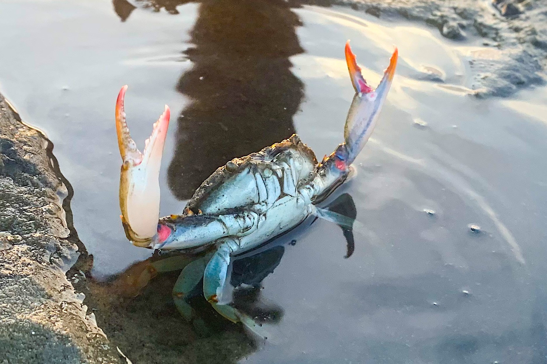
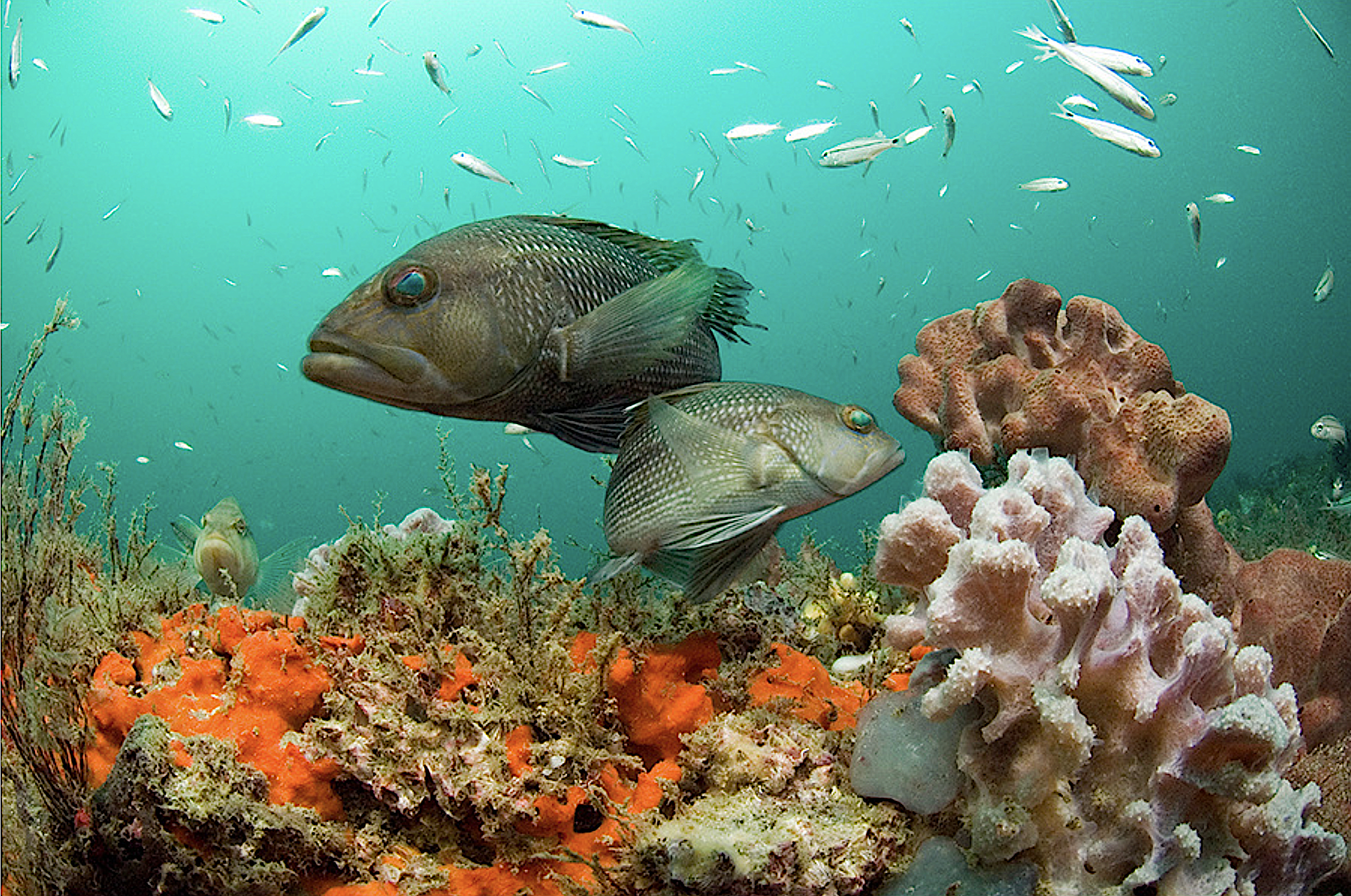
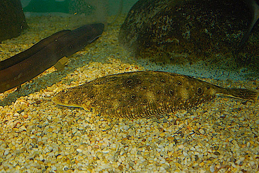
In this study, scientists investigated how to design management areas for shifting fish stocks using three important species along the Northeast Atlantic coast as case studies: black sea bass, summer flounder, and scup.
These fish species are highly mobile, not only moving between states but also between state and federally managed waters. The Mid-Atlantic Fishery Management Council and the Atlantic States Marine Fisheries Commission manage these species cooperatively, from the U.S.-Canadian border to North Carolina.
The researchers used publicly available data on historical fall and spring yearly federal science surveys and commercial landings by port. The recreational fishing sector plays an important role in fishing effort for these stocks, but because recreational harvest is not tracked in the same way as commercial harvest, it was not included in the analysis.
The scientists explored two approaches for drawing management boundaries. One approach is to expand state-water jurisdiction to varying distances within federal waters, which reflects potential access to fishery resources. The other is to manage around centers of fishing activity (i.e., ports and landings), which reflects existing fishing activity.
What did they find?
How regulatory areas are delineated (fishing ports vs. state water jurisdiction) has significant consequences. Under the state waters approach, each state’s management area captures a part of the stock distribution of each species. But under the fishing ports approach, some states end up without regulatory areas; the proportion of the stock distribution attributed to these particular states was zero in all years.
For example, the port-based landings model resulted in 19 ports for black sea bass representing 93% of landings, 16 for scup representing 95% of landings, and 23 for flounder representing 97% of landings. Thus, the fishing ports management approach reduced the management area to zero for some states like Maine, but on the flip side, using the state waters boundaries expansion regulatory approach gave Maine 82 square miles of state-managed harvest area, well beyond the current three nautical miles demarcation.
Over the last 40 years the proportion of all three species has increased in northern states and decreased in southern states, with North Carolina and Virginia most affected. This is true regardless of the method used to draw boundaries.
Anything else?
Seasonality also makes a difference in the proportion of fish stock that fall within each state’s boundaries. Maine, for example, has experienced a notable increase in fall distribution compared to spring, while Virginia has seen the opposite trend.
So what?
Allocating fishing quotas based on where fish actually are, rather than using ports as historical reference points, has the potential to make management more resilient to climate change.
At the same time, transitioning to such a dynamic allocation system will likely be met with resistance from those who have historically fished the stock. The authors discuss the importance of establishing compensation systems to work toward greater equity — for example, permit transferability or compensation for permit value loss.
Ultimately, taking a flexible and adaptive approach to drawing boundaries will be essential to sustainable fisheries management in the long-term. To do so equitably will require consideration of the broader social, environmental, and economic contexts of the fisheries.
Reading
Palacios-Abrantes, J., Crosson, S., Dumas, C., Fujita, R., Levine, A., Longo, C., & Jensen, O. P. (2023). Quantifying fish range shifts across poorly defined management boundaries. Plos One, 18(1): e0279025.
BY MAYA AFILALO
This work was funded by the Lenfest Ocean Program.
The text from Hook, Line & Science is available to reprint and republish at no cost, but only in its entirety and with this attribution: Hook, Line & Science, courtesy of Scott Baker and Sara Mirabilio, North Carolina Sea Grant.

- Categories: