Sea Science: Rolling with the Tide: Sun, Moon and Raven
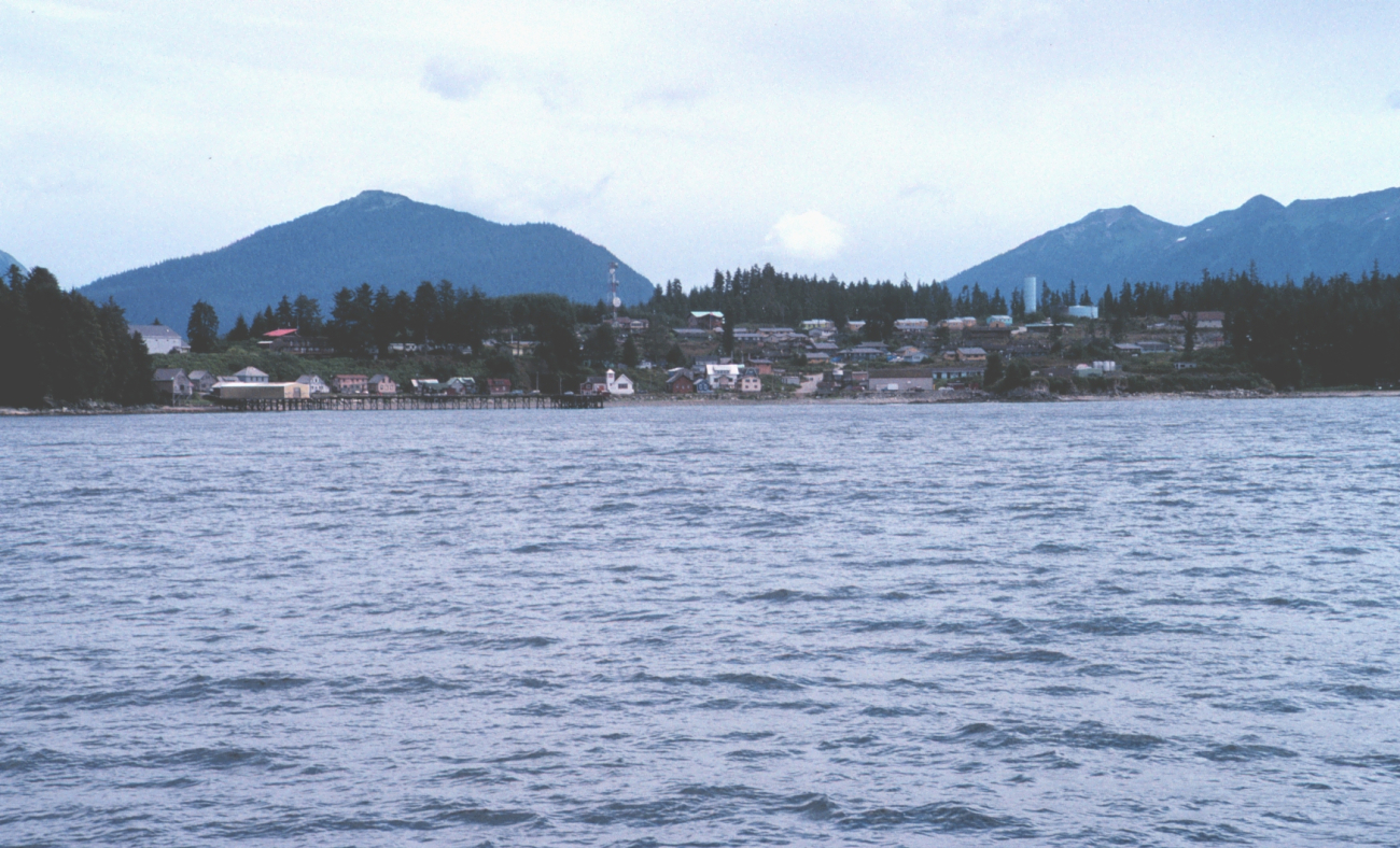
THE TLINGIT PEOPLE FROM THE PACIFIC NORTHWEST EXPLAINED THE TIDES IN A STORY.
The old woman who controlled the water level lived at the edge of the Big Water. She held the tide line tightly across her lap, not letting the Big Water move in and out. Raven, the trickster, and his people enjoyed eating all the good things that washed up on the shore of the Big Water. As the population grew, there was not enough food on the shore to feed everyone.
The people sent Raven to trick the old woman into letting go of that line so the water would fall and the people could eat the good things beneath the water. Raven kicked sand into the old woman’s eyes, causing her to drop the tide line.
The water fell and the people ate lots of food. But because the water stayed out so long, many creatures from the Big Water began to die. Once again, the people didn’t have enough food, and Raven was sent to remedy the situation.
He offered to help the old woman clean the sand out of her eyes if she would let go of the tide line from time to time so the people could eat the water creatures. That compromise worked, and that’s how the tides began.
What a lovely, visual explanation.
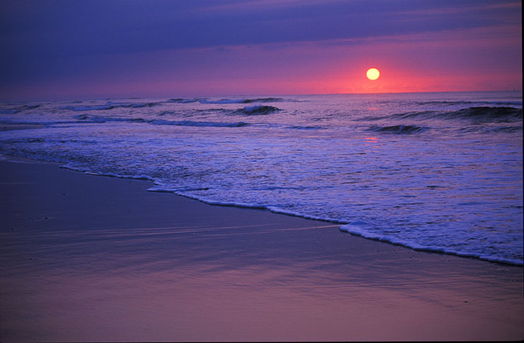
Today, we know that the cyclical ebb and flow of the ocean is caused not by an old woman holding the tide line, but rather by a complex combination of influences. They are:
- Astronomical, having to do with the moon and sun;
- Meteorological, dealing with weather and atmospheric conditions;
- Oceanographic, depending on bathymetry/topography or shape of the ocean bottom;
- Geographic, having to do with location on the Earth; and
- Hydraulic, dealing with the movement of water.
ASTRONOMICAL INFLUENCES
The major players in this tide equation are the gravitational pulls of the moon and the sun, along with the rotation of the Earth. Although the sun is 27 million times larger than the moon, it also is farther away from Earth. The sun is 93 million miles from the Earth, while the moon is only 250,000 miles away. Because of its proximity, the moon has more influence on our tides.
The simplest explanation of the tides involves imagining the Earth covered by water, with no continents. When the gravitation of the moon pulls on the ocean water, it causes a bulge in the ocean surface facing the moon. See the illustration on the next page. There is an equal bulge on the side opposite the moon due to centrifugal force and inertia, causing elliptical tidal bulges. These bulges are the high tides. Now, think of a single point on Earth, such as near Cape Hatteras. As the Earth rotates, this location moves through two bulges — and experiences two high tides — in a 24-hour period.
For example, on Tuesday, May 15, 2012, a high tide at Cape Hatteras occurred at about 4:03 a.m. Low tide happened at 10:17 a.m. The next high tide was at 4:45 p.m., followed by another low tide at 11:02 p.m. It takes about 12.5 hours from one high tide to the next high tide, and a little more than six hours between high and low tide. Check any tide table for North Carolina and you will notice similar intervals.
This is because as the Earth rotates on its axis while the moon revolves around the Earth in the same direction, the bulges shift to stay aligned with the moon’s movement. A full rotation of the Earth takes 24 hours — a solar day.
But because the moon is orbiting while the Earth spins, it takes a little longer than one solar day for the same point on the Earth to rotate and catch up with the moon-caused tidal bulge. Thus, a lunar day, or the time between moonrises, is 24 hours and 50 minutes. This time difference between solar and lunar days explains why tides don’t occur at the same time in the same location every day.
High and low tide heights vary during each month. Spring tides, or the highest highs and the lowest lows, occur during a new moon or a full moon, when the tidal bulges of the moon and sun are lined up (yes, the sun causes bulges too). In spite of their name, spring tides happen in all seasons.
Neap tides, which are the lowest highs and the highest lows, happen during the quarter moons, when the moon and sun are pulling their bulges at right angles to each other.
A lunar month is 29.5 days. That’s the amount of time it takes for the moon to go through its four phases — new, first quarter, full and last quarter — and return to the new moon. Thus, spring and neap tides occur approximately every two weeks.
TIDAL VARIATIONS
There are three types of tidal patterns, as shown in the graphic on the next page. The difference is caused by a combination of ocean basin shape, size and depth, in addition to the adjacent landmasses.
The most common pattern is semidiurnal, with two high tides and two low tides, roughly equal in height, in a 24-hour period. Most of the coasts on both sides of the Atlantic exhibit semidiurnal tides, as well as Greenland and northern Europe.
One high and one low tide daily is known as a diurnal tide pattern. Parts of the Gulf of Mexico have diurnal tides, along with southwest Australia and parts of Antarctica.
Mixed tides exhibit both semidiurnal and diurnal characteristics. Usually semidiurnal in frequency and unequal in height, mixed tides can exhibit a diurnal frequency at times. This tidal pattern is demonstrated along most of the Pacific Coast in the U.S. and in Asia, the Caribbean, and parts of the Indian Ocean.
The tidal range is the difference in height between high and low tides. In North Carolina, the range averages 3 feet. Compare that to the tidal range in Georgia, which is about 8 feet.
The large difference in tidal range between North Carolina and Georgia is due to the location of the two states in the South Atlantic Bight, a region that lies between Cape Hatteras and Cape Canaveral. It is shaped like an inverted V, with Georgia at the high point and Florida and North Carolina at the deeper ends. As the Earth rotates into the high tide bulge, the shallow continental shelf around Georgia causes the water to pile up faster and higher. A tidal range of 2 to 4 feet is typical for Florida and North Carolina.
In Nova Scotia’s Bay of Fundy, the tidal range is about 40 feet. If it’s difficult to imagine that amount of water rising and falling within a few hours, search for “Bay of Fundy tides” on YouTube and enjoy some fascinating videos. In some places, the tides move so much water that large waves, known as bores, are created. Also search on YouTube to watch people surf the powerful “Pororoca” or “Roar of the Amazon.”
VALUE OF TIDES
Why are tides important? A plethora of people and industries depend on tide predictions, including the shipping community, the military, cruise ships, ferry systems, and commercial and recreational fishermen, as well as engineers who design bridges and docks. Of course, surfers and recreational boaters watch tides too. Even educators base their field-trip schedules on tide predictions.
In addition, many marine and estuarine animals, such as horseshoe crabs, mole crabs, grunions and sea turtles, also rely on tidal cycles — and they don’t use man-made tide tables. Their adaptation to lunar rhythms and tidal cycles is the subject of continuing research.
Always remember the difference between a tsunami and a tidal wave.
A tsunami is a large destructive wall of water that is created by volcanic eruptions, earthquakes or landslides that occur beneath the ocean. It has nothing to do with the tides.
The tides are waves of water that rotate around the ocean basins that are created by the gravitational pull of the moon and sun.
As a final note: Why did the eel cross the road? To get to the other tide!
Additional Resources
Check out these publications and websites for more information on tides.
READ
- Koppel, Tom. 2007. Ebb and Flow: Tides and Life on Our Once and Future Planet. Tonawanda, N.Y.: Dundurn Press. ISBN 978-1-55002-726-6.
- McCully James Greig. 2006. Beyond the Moon: A Conversational, Common Sense Guide to Understanding the Tides. Hackensack, N.J.: World Scientific Publishing Company. ISBN 981-256-644-9.
- “Tides,” Chapter 9 in Thurman, Harold V. and Alan P. Trujillo. 2002. Essentials of Oceanography, 7th edition. Upper Saddle River, N.J.: Prentice Hall. ISBN 0-13-065235-0.
- “Tides,” Chapter 12 in Segar, Douglas A. 2007. Introduction to Ocean Sciences, 2nd edition. New York: WW Norton & Company. ISBN 978-0-393-92629-3.
- “Tides of the Ocean,” Chapter 11 in Davis, Richard A., Jr. and Duncan M. Fitzgerald. 2004. Beaches and Coasts. Malden, Mass.: Blackwell Publishing. ISBN 0-632-04308-3.
- “Tides,” Chapter II, Section G, pages 26–29 in Keener-Chavis, Paula and Leslie Reynolds Sautter. 2000. Of Sand and Sea: Teachings from the Southeastern Shoreline. Charleston, S.C.: South Carolina Sea Grant Consortium. Available from: www.scseagrant.org/pdf_files/of_sand_sea.pdf.
VISIT
- Tides and Water Levels tutorial on NOAA’s National Ocean Service website, oceanservice.noaa.gov/education/tutorial_tides/welcome.htm.
- Ocean in Motion: Tides — Characteristics on the Office of Naval Research website, www.onr.navy.mil/focus/ocean/motion/tides1.htm.
This article was published in the Summer 2012 issue of Coastwatch.
For contact information and reprint requests, visit ncseagrant.ncsu.edu/coastwatch/contact/.
- Categories:
