Trail Mix: Scenic Byway, Maritime Trail Beckon to Visitors
This season, whether you prefer to travel in the comfort of your car or of your armchair, the Outer Banks has something for you.
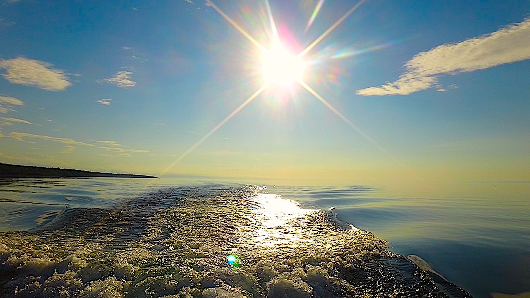
Drive the Outer Banks National Scenic Byway, established in 2009, to visit important cultural, historical and geographical features of the Outer Banks. Or let your fingers do the cruising on the newly created Outer Banks Maritime Heritage Trail, a virtual guide that provides video and audio accounts of the maritime history and ecology of the area.
Both corridors are designed to enhance and expand visits to the Outer Banks.
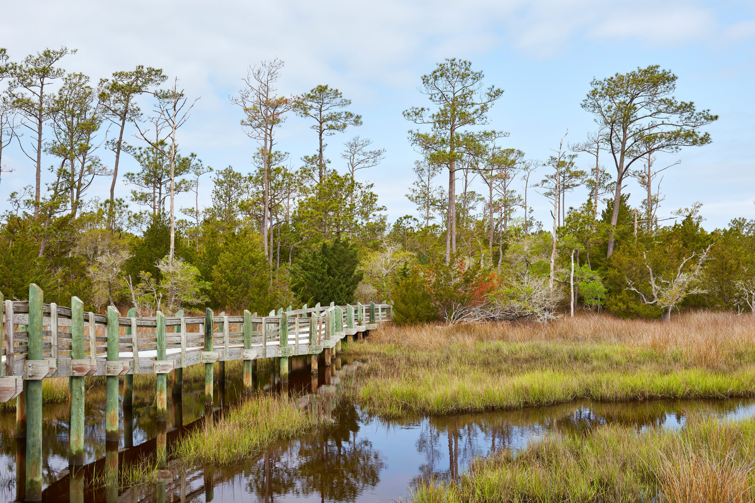
The byway connects 21 sea and soundside villages, four museums, four lighthouses, two national seashores, two wildlife refuges, two state ferry crossings, and hundreds of years of shared heritage. Travelers will be guided to Cape Hatteras National Seashore, Ocracoke Village and Down East fishing communities. Soon, signs will mark points along the byway.
“We need low-impact tourism,” says Karen Amspacher of Marshallberg, Carteret County chair for the byways advisory committee. “That’s what this national byway is about — bringing people who appreciate places on the Outer Banks and will take time to understand our communities. We want people to stop and talk with us.”

Along the online maritime heritage trail, people with an Internet connection can “visit” underwater shipwrecks that are part of the Battle of the Atlantic. They can call up video and audio accounts of historic events and descriptions of shipwrecks, including two World War II German submarines and the Civil War ironclad USS Monitor.
“This virtual trail aims to highlight the unique maritime culture and heritage of the Outer Banks in a new and innovative way. Users can enjoy the view from the top of the Cape Hatteras Lighthouse or explore underwater shipwrecks without ever getting wet,” says Lauren Heesemann, research coordinator for the Monitor National Marine Sanctuary.
“These trails tie the traditions of our coastal communities to economic development,” says Jack Thigpen, North Carolina Sea Grant extension director. “I believe they will help local residents protect and preserve their heritage while introducing new visitors to the unique history and culture that these areas have to offer. And by attracting more tourists, the trails also can help provide a living for the people in these villages.”
ON THE ROAD
The scenic byway spans 138 miles along the Outer Banks, bordering the Atlantic Ocean and the Pamlico and Core sounds. The northern terminus is Whalebone Junction at U.S. 64/264 and N.C. 12 in Dare County. The southern terminus is U.S. 70 just west of the North River bridge in Carteret County.
Right now, it is a byway in name only. But next summer, the route is to be marked with several hundred highway and smaller “medallion” signs to highlight attractions to visit. The markers will have a distinctive black, blue and brown Outer Banks logo that features a shoreline, silhouettes of a lighthouse and maritime forest, and a skiff resting in marsh grass.
The goal is to strengthen the tourist-oriented economy along the route, as well as sustain the common maritime culture and the natural resources of each community. The trail links villages — from Rodanthe south to Ocracoke, then on to Down East communities such as Atlantic, Davis and Harkers Island — that lie along the narrow barrier islands and their capes, inlets and sounds.
“The great value of the Outer Banks scenic byway is how it reconnects the 21 communities along the byway. It reaffirms our shared heritage,” says Amspacher, referring to common activities along the working waterfronts in the area, such as commercial fishing, waterfowl guiding and hunting, decoy carving, lighthouse keeping, and boat building.
“What we want is this to be community based, and the community determines how it’s shaped and how it works,” Amspacher adds.
The byway has its origins in the early 1990s when the N.C. Department of Transportation designated the route as a state scenic byway. In 2008, Carteret, Dare and Hyde counties applied for national designation.
A year later, the Federal Highway Administration placed this stretch on the list of America’s Byways, one of 150 in the nation. It joins three others in the state — the Blue Ridge Parkway, Cherohala Skyway in the Appalachian Mountains and Forest Heritage National Scenic Byway through the Pisgah National Forest. The federally recognized Outer Banks route overlays the previous state pathway along N.C. 12, two ferry passages and U.S. 70. Winning national designation increased the coastal byway’s eligibility for federal grants. So far, the FHA has given nearly $2.4 million to the project, including $1.95 million for bike-pedestrian pathways.
Volunteer project manager Mary Helen Goodloe-Murphy of Rodanthe says federal and local money will pay for eight miles of pathways, more than 300 byway signs, and 27 information kiosks and wayside exhibits. She has a grand vision to develop the byway, with many future projects planned.
Work at Rodanthe, Waves, Salvo and Avon along N.C. 12 began in April to construct bicycle-pedestrian paths. Goodloe-Murphy estimates that the 5-foot-wide concrete pathways should be completed by late summer. This will enable walkers, joggers, skaters and cyclists to safely move along these high-traffic areas. The $2.45 million project includes $400,000 from the Dare County Tourism Board plus $90,000 in local contributions.
The scenic byway will be marked with many directional and information signs, including eight entrance/exit signs, 66 gateway and attraction signs, 125 highway directional signs, and 100 medallions at points of interest. In addition, the route will get 11 “You Are Here” orientation panels. They will show the entire byway length and will be put at the Whalebone Junction and North River end points, ferry terminals, and highly visited places, such as the Cape Hatteras Lighthouse. The signs are expected to be up by the summer of 2014. The total cost for this effort is $251,400, including $201,120 in federal money awarded in 2011.
Goodloe-Murphy says that interpretive kiosks and displays are to be distributed along the byway. Six locations will get portal kiosks, highlighting the heritage and history of the Outer Banks byway. They will be placed at Whalebone Junction, the Hatteras, Ocracoke and Cedar Island ferry landings, and the North River. In addition, villages along the route will get wayside exhibits, similar to the slanted, waist-high displays found at national park overlooks. These kiosks and displays will cost $265,000, including $212,000 in federal money that was awarded in 2012.
For now, the biking paths is the only project underway. Goodloe-Murphy notes that the other two projects may still be years from completion.
The advisory committee’s next step is to market the route beyond the Outer Banks region. Goodloe-Murphy says the committee plans to upgrade the existing byway website, www.outerbanksscenicbyway.org. They also plan to send media packets to news organizations.
MOVING ALONG
When completed, the scenic byway will direct travelers to high-profile landmarks such as the Chicamacomico Life-Saving Station at Rodanthe, the recently restored Bodie Island Lighthouse (see tiding on page 5), the Graveyard of the Atlantic Museum in Hatteras, the David Williams House Museum in Ocracoke, and the Core Sound Waterfowl Museum and Heritage Center on Harkers Island.

Ocracoke Island is at the center of the byway. Melinda Sutton of Ocracoke, Hyde County chair for the advisory committee, says the signs and kiosks are likely to entice travelers who might otherwise go no farther than the Cape Hatteras Lighthouse to catch a ferry to Ocracoke Island.
“It’s going to unite the whole region,” Sutton says, adding that more tourist traffic could lead to additional overnight stays and day visits to Hatteras Island, as well as to the Down East area, by visitors who extend their trip to Ocracoke.
Amspacher expects that the scenic byway will attract tourists beyond those who come to fish, photograph a lighthouse and swim in the ocean. She explains that these visitors tend to travel in the off-season — in autumn, winter and spring.
“They are looking for landscapes and communities that are still intact,” says Amspacher, who also is founding director of the Core Sound Waterfowl Museum.
She notes that the area has a lot to offer beyond a typical beach experience.
“People here still fish for a living, they guide waterfowl hunts, they carve decoys.
The scenic byway is about community stories, getting to know the people and what they’re about.” She hopes that the byway will draw visitors who will take their time, ask more questions and learn about the community.
“This is slow tourism, tourism that will help us sustain our sense of community,” Amspacher says.
VIRTUAL TRAVEL
The Outer Banks Maritime Heritage Trail parallels part of the scenic byway but does not require driving or walking. Instead, it is a website — monitor.noaa.gov/obxtrail — created in 2012 by the National Oceanic and Atmospheric Administration.
The site contains 10 videos and a growing collection of oral histories. The videos highlight landmarks — on land and under water — along N.C. 12, from Nags Head to Hatteras Inlet. Visitors to the site can learn about the history, ecology and culture of the area.
This project is partly an offshoot of the Battle of the Atlantic Expedition, which is a collaborative research project involving NOAA, the Bureau of Ocean Energy Management, the University of North Carolina Coastal Studies Institute, East Carolina University, and other federal and state partners.

The Battle of the Atlantic Expedition seeks to locate and document the ships and submarines that were sunk during WW II. While the Battle of the Atlantic was mostly fought in the north Atlantic, the East Coast also saw many battles. The greatest concentration of submarine warfare took place between Cape Hatteras and Cape Lookout. The remains of 50 to 60 ships, including Allied merchant ships and German submarines, lie within 100 miles of the North Carolina coast, according to expedition researchers.
The East Coast was largely undefended when WW II broke out. German submarines parked off the state’s coast and struck passing freighters and tankers. So many ships were torpedoed off the Outer Banks in early 1942 that sailors called the area Torpedo Junction, a play on the name of the popular 1939 song, Tuxedo Junction.
Outer Banks residents were witnesses to the devastation. They saw fires from burning ships and plumes of black smoke at sea and heard loud offshore explosions. Bodies of sailors washed ashore onto their beaches.
Carol Dillon, then a child growing up in Buxton, recalls the horror in an oral history recording on the website. “The ships were a little too far off for you to actually see,” Dillon recalls, “but I have been on the beach and seen the fires from the tankers when they blew.”
In his 1990 book, Operation Drum Beat, historian Michael Gannon reports that German submarines sank 397 ships with the loss of nearly 5,000 lives in U.S.-protected waters along the East and Gulf coasts and in the Caribbean Sea to Panama during the first six months of 1942.
This summer, for the sixth year in a row, expedition researchers will search for sunken ships in the undersea battlefield, according to research coordinator Heesemann. So far, 27 WW II shipwrecks have been documented. A video also describes the USS Monitor, which reposes in the Monitor National Marine Sanctuary off Cape Hatteras.
Heesemann, who leads this online project, plans to add three to five more videos to the site in 2014, to include topics such as the history of fishing and changes in geology. The videos will be a partnership with graduate students from the University of North Carolina at Chapel Hill and Duke University. And a mobile app also is in the works.
But she hopes that visitors already are learning about these historical landmarks.
“This tool enables us to reach new audiences and we hope that it generates excitement and encourages those people to learn more and visit these amazing sites for themselves,” Heesemann says.
SHIPWRECK GUIDES FOR DIVERS
The shipwrecks off the Outer Banks are popular destinations for scuba divers.
Many World War II ships and submarines involved in the Battle of the Atlantic lie beneath the waters off shore.
The National Oceanic and Atmospheric Administration’s Monitor National Marine Sanctuary and partners have produced a set of five dive slates for the German submarines U-85, U-701 and U-352, the U.S. Navy tugboat Keshena, and British patrol ship HMT Bedfordshire.
The plastic slates, measuring 6 1/2 by 9 inches, contain schematic drawings of the ships, a vessel history, an archaeological site plan and GPS coordinates.
Divers can request these free slates to take along on dives. Email your name and address to monitor@noaa.gov to receive the set.
This article was published in the Summer 2013 issue of Coastwatch.
For contact information and reprint requests, visit ncseagrant.ncsu.edu/coastwatch/contact/.
- Categories: