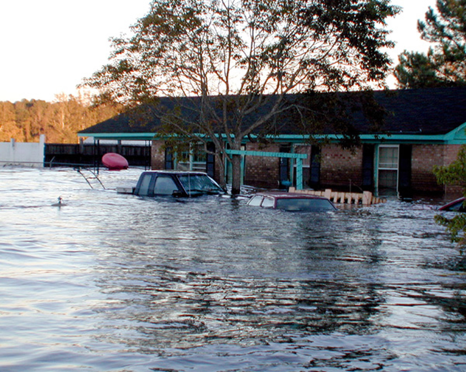
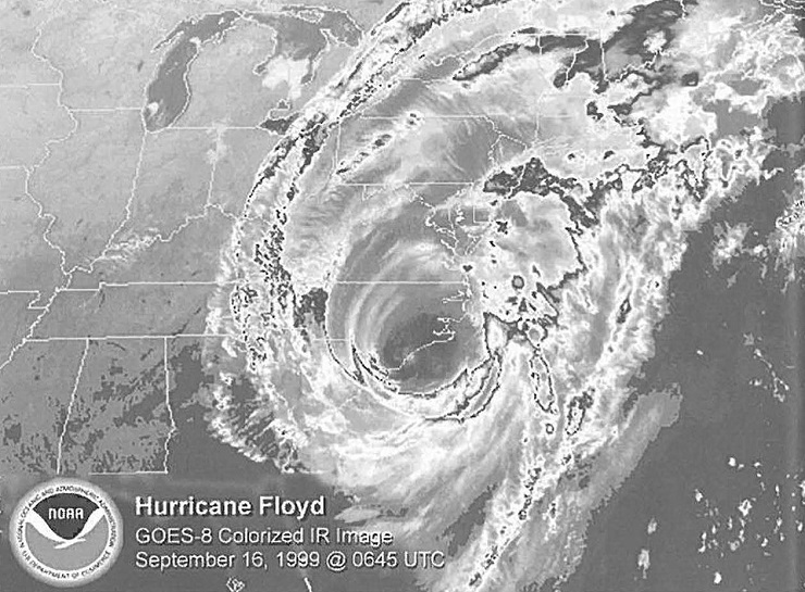
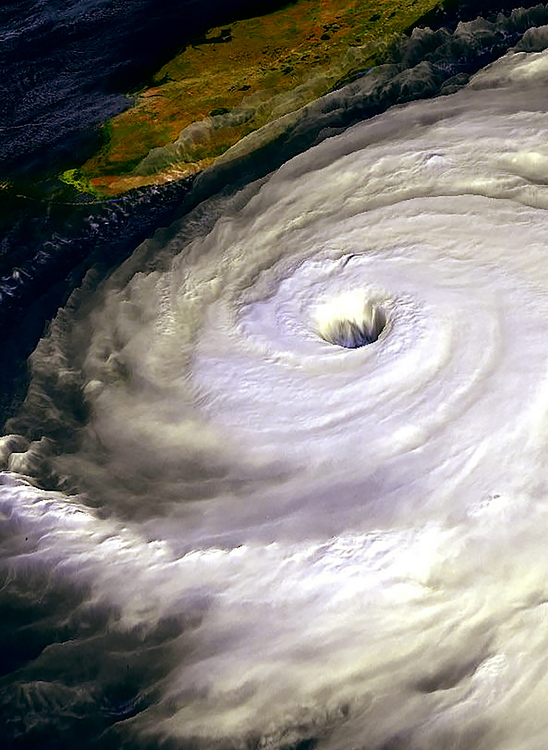
Even prior to Hurricane Floyd, forecasters were predicting flooding. A lot of flooding.
“We coordinated very closely with emergency managers and local government officials, and for two to three days before the storm, we were harping flooding, flooding, flooding. It’s catastrophic. Get ready,” said Steve Harned, former meteorologist-in-charge of the National Weather Service (NWS) Raleigh forecast office, in a 2002 interview.
But the extent of waters that inundated river basins was beyond forecasters’ worst projections.
“Clearly, we were not surprised that we had flooding — but the severity of it was just unimaginable,” Hamed explained.
“No one in places like Rocky Mount, Tarboro, Greenville, Goldsboro, Snow Hill, and Trenton could recall flooding at this level within living memory,” note authors Richard Moore and Jay Barnes, who interviewed Hamed and others in Faces from the Flood: Hurricane Floyd Remembered.
Although significant near-record river flooding was anticipated in advance of Hurricane Floyd, the uncertainty in its track and rainfall amounts made it difficult to forecast the unprecedented speed and extent of rising water levels in inland rivers and coastal sounds.
“Capabilities for predicting rainfall amounts that detailed, and even observing in real time, were limited at the time,” recalls Rich Bandy, currently meteorologist-in-charge at the NWS Newport office. As a result, many may have been caught off guard.
In response to the devastating losses of life from flooding caused by 1999 hurricanes Dennis and Floyd, a revolutionary flood-modeling project strives to more accurately predict the magnitude and extent of flooding in estuaries and coastal zones in North Carolina — and, in time, across the United States.
Set in North Carolina’s Tar-Pamlico and Neuse river basins, the Coastal and Inland Flooding Observation and Warning Project (CI-FLOW) joins a host of partners and the latest technologies to consider three key aspects of flooding: rainfall, river flow and storm surge.
The next time floodwaters threaten to rise up riverbanks, towns and cities like Tarboro and Rocky Mount may be better prepared for what’s to come.
“CI-FLOW could significantly improve forecasting capabilities for a storm like Floyd due to improved rainfall forecasts, increased observations, and forecast guidance and storm surge interactions on rivers,” Bandy says.
STORM SURGE MATTERS
CI-FLOW addresses what the National Oceanic and Atmospheric Administration (NOAA) refers to as a “service gap” in areas where river and coastal waters meet. Bandy explains that river flooding forecasts get confounded at these integration zones where there is a tidal influence.
“There’s a need for better water information in coastal watersheds that experience tides,” says Suzanne Van Cooten, a hydrometeorologist and Sea Grant extension specialist at NOAA’s National Severe Storms Laboratory (NSSL) in Norman, Okla.
Traditional river flooding models do not take into consideration tidal influence, storm surge or winds that can blow water up rivers from coastal zones and exacerbate flooding.
“At the time of Floyd, due to a lack of modeling capability, we really couldn’t get a good handle on how the river flooding would interact with the storm surge in the tidal zone,” Bandy says.
CI-FLOW is unique because for the first time it brings storm surge into the mix, integrating it with improved rainfall estimates and river-flow modeling capabilities.
“Coupling the three models together provides more accurate real-time data of water levels anywhere on a river and better predictions of flooding or falling river levels,” says Jack Thigpen, North Carolina Sea Grant’s extension director.
Emergency managers could be better able to stage their responses using these improved forecasts, says Bob Bacon, extension director for South Carolina Sea Grant.
“Advanced knowledge that we’re in a flash flood watch allows us to start coordinating things so it’s not such a shock to everyone,” explains John Pack, emergency management coordinator for Beaufort County.
The minute he knows about potential flooding. Pack can “pull out a checklist” and start alerting local authorities including 911 dispatchers. If flooding is forecasted in Belhaven, Pack knows it may cut off routes between some parts of the county and the main hospital. Emergency vehicles may need to divert victims to an alternate location.
CI-FLOW started in 2000 when members from the Sea Grant network and NSSL — two programs within NOAA’s Office of Oceanic and Atmospheric Research (OAR) — met to identify opportunities for collaboration.
Deaths and financial costs following Hurricane Floyd in 1999 made North Carolina’s coastal zone a good test site for integrating the programs’ joint specialties of advanced weather technology and public outreach.
Many partners joined to contribute to CI-FLOW and assess it as a flood-forecasting model or “proof of concept” for potential use in other coastal watersheds.
After a successful but informal test of CI-FLOW’s ability to estimate rainfall and storm surge during Tropical Storm Hanna in September 2008, partners are hopeful that more formal testing during the next major storm will mount further confidence in its coupled modeling capabilities.
TRACKING THE RAINDROP
Tracking the raindrop from the sky to the summit to the sea…
CI-FLOW’s tagline also is the central theme that guides its science, according to the program’s Web site.
CI-FLOW monitors and predicts water quantity and quality “at every point in a river basin or coastal watershed as the raindrop moves all the way through the system,” Van Cooten explains.
“Tracking a raindrop” may not be as easy as it sounds. CI-FLOW uses a complex network of integrated technologies to track water along its path to a potential flood.
“Any one model may be good for a specific situation, but what about all the other situations?” says Kevin Kelleher, deputy director of NSSL. “Having more than one model and looking at them as a whole gives a better idea of how accurate the results are.”
From the Sky: One of CI-FLOW’s goals is to produce very accurate, automated precipitation estimates. By using multiple sensors, including radars, rain gauges, satellites, numerical weather models and lightning detection networks. CI-FLOW provides a continuous assessment of rain falling onto the watershed.
To the Summit: Starting at the headwaters of the Tar and Neuse rivers all the way to Pamlico Sound, CI-FLOW monitors and predicts water quality — including salinity and amounts of contaminants — and quantity using multiple high-resolution models. These models simulate stream flow based on channel characteristics, soil type, slope of the land and vegetation patterns. The simulations can provide forecasters with multiple solutions for how and when water will be discharged from the rivers.
To the Sea: CI-FLOW also adds the value of incorporating storm surge and wind characteristics from the coast into coastal watershed stream flow predictions.
ON THE HORIZON
Getting the right science and getting it to the right people is important for implementing a project with so many partners and integrated technologies, Van Cooten notes.
Moving CI-FLOW from a research phase to potential uses in the real world will take some high-tech output tools, as well as extension and education.
Meteorologists such as Bandy already have access to one of CI-FLOW’s rainfall estimation tools for making forecasts — the National Mosaic and Multi-sensor Quantitative Precipitation Estimation (NMQ) project. CI-FLOW uses NMQ to produce and map precipitation estimates within any given square-kilometer area across the nation once every five minutes. In the case of a major storm this hurricane season, partners are ready to perform an end-to-end CI-FLOW test and use results to predict flooding and storm surge in the Tar-Pamlico and Neuse river basins.
Researchers and partners — including NWS meteorologists and emergency managers — will have access to the test results through a password-protected account on NOAA’s “nowCOAST” mapping portal online. Others interested in the technology can use the nowCOAST Web site to view real-time NOAA coastal observations and forecasts across the country.
Another CI-FLOW mission is extension of results beyond the lab to other stakeholders, such as fisheries managers, health officials and the general public.
“By facilitating dialog between potential users and scientists, we will get better science and problem-solving techniques,” Bacon explains. Bringing together people from different user groups may help CI-FLOW partners to bridge information gaps and determine the most useful output formats.
With plans to translate CI-FLOW data into graphic-based products like 3-D visualizations and videos, Bacon, Thigpen and others hope to convey the benefits of flood-forecasting technology to the general public.
These products can fit into a number of formal and informal education situations, says Lundie Spence, an original project collaborator and education director for South Carolina Sea Grant and the Southeast Center for Ocean Sciences Education Excellence.
“With new NOAA-associated animations of flooding from real data, it will be possible to develop awareness of the technology, the applications, and greater understanding of hurricane impact,” explains Spence, who was North Carolina Sea Grant’s marine education specialist when Floyd struck.
Visualizations and animations may help people better understand how flooding could affect them, Bacon adds.
“What people really want to know is ‘what’s going to happen to my house, my family,'” he says. Flood maps will help people locate themselves within a flood zone, and understand the potential impact of rising waters in their area.
North Carolina is the pilot test for CI-FLOW, but its implications will be considered across the country.
Bacon is anxious to see the science exported to his home state of South Carolina and beyond.
River basins impacting Charleston, S.C., and Galveston, Texas, have been slated as possible sites for further testing and refining of CI-FLOW’s flood-forecasting capabilities.
“Lessons learned from this can be applied to other estuarine rivers,” Thigpen explains. — R.W.
For more information on CI-FLOW, visit the Web: https://ciflow.nssl.noaa.gov/. Click on “National Mosaic & Multi-Sensor QPE (NMQ)” or “NOAA nowCOAST” to learn more about CI-FLOW’s data output tools.
This article was published in the Autumn 2009 issue of Coastwatch.
For contact information and reprint requests, visit ncseagrant.ncsu.edu/coastwatch/contact/.
- Categories:


