The Impact of Sea Level Rise on Tidal Marshes
A lesson plan for grades 9-12
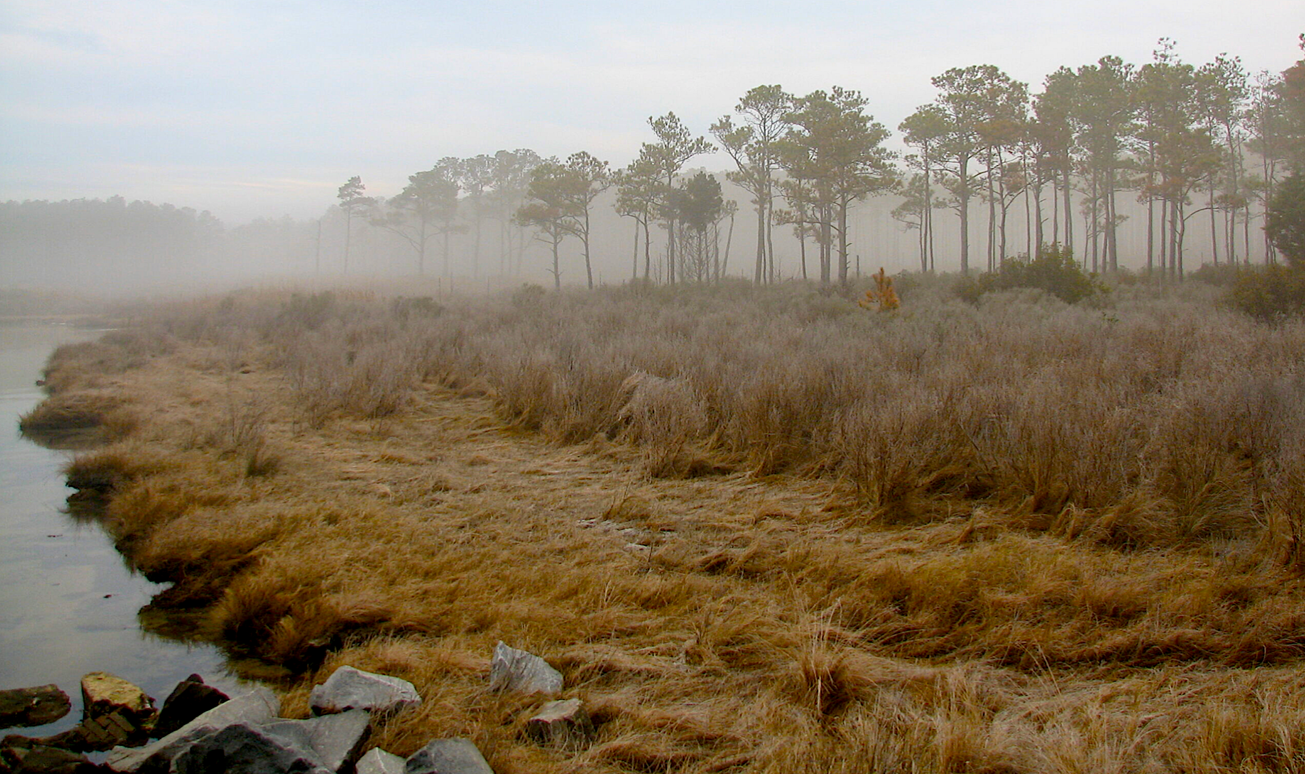
As a former North Carolina Sea Grant – North Carolina Space Grant Graduate Research Fellow, Allie Best researched the tidal marshes of Hyde County, N.C. She focused on the habitat of swamp sparrows, which occupy the “high marsh,” an irregularly flooded marsh zone. As sea level rise accelerates, these marshes will migrate, shrink, or even disappear.
Based on her research, Best created a lesson plan for high school students that includes an interactive slideshow, map, worksheets, and more. The full lesson plan includes learning objectives and guiding notes for educators.
Learning Objectives
NC Standard Course of Study
The learning objectives for this lesson plan include the following biology and earth/environmental sciences standards in the NC Standard Course of Study:
- Bio.5.1 Use mathematics and computational thinking to explain how interactions between organisms (predator/prey, competition) affect carrying capacity and maintain stability in an ecosystem.
- Bio.5.2 Engage in argument from evidence to evaluate various solutions to reduce the impact of human activities on biodiversity and ecosystem health.
- EES.5.6 Construct an argument to evaluate a range of solutions to mitigate impacts of human activities on Earth’s systems.
Lesson Summary
This lesson plan is for grades 9 through 12 and covers the importance of tidal marsh ecosystems, the threats they face, and potential strategies to protect these habitats and their species. The lesson plan includes an introductory video, a slideshow, interactive maps, and an assessment worksheet.
Pre-Class Video: A five-minute introduction to UNCW Danner Lab’s research on the saltmarsh sparrow, the importance of saltmarshes, and the problems sea level rise poses.
Slideshow: This presentation covers the importance of tidal marshes to both ecosystems and communities, differentiates the types of marshes, defines sea level rise, and offers scenarios for how sea level rise may affect these landscapes. The slideshow discusses Hyde County research alongside adaptive strategies to combat rising sea levels and introduces visualization tools. The lesson plan includes instructor notes for the presentation.
Interactive Maps: Best incorporates two interactive maps into this lesson, including NOAA’s “Sea Level Rise & Coastal Impacts” and an interactive map of Hyde County that illustrates projected sea level rise alongside 11 swamp sparrows that researchers tracked. Teachers can illustrate projected sea rise levels and allow students to visualize how they may affect existing habitats.
Assessment Worksheet: This worksheet asks students to use the interactive map to explore how sea level rise will affect existing swamp sparrow habitats and think critically about habitat loss and potential solutions. A teacher worksheet with an answer key is also provided.
Lesson Plan Resources
- the full lesson plan
- the pre-class video on the Danner Lab and the saltmarsh sparrow
- the slideshow and story map
- NOAA Sea Level Rise and Coastal Flooding Impacts
- an interactive map of Hyde County
- student worksheet
- teacher worksheet
- Allie Best on her study of saltmarsh sparrows