A former joint North Carolina Sea Grant-Space Grant Fellow is pioneering a new method that will inform conservation planning.
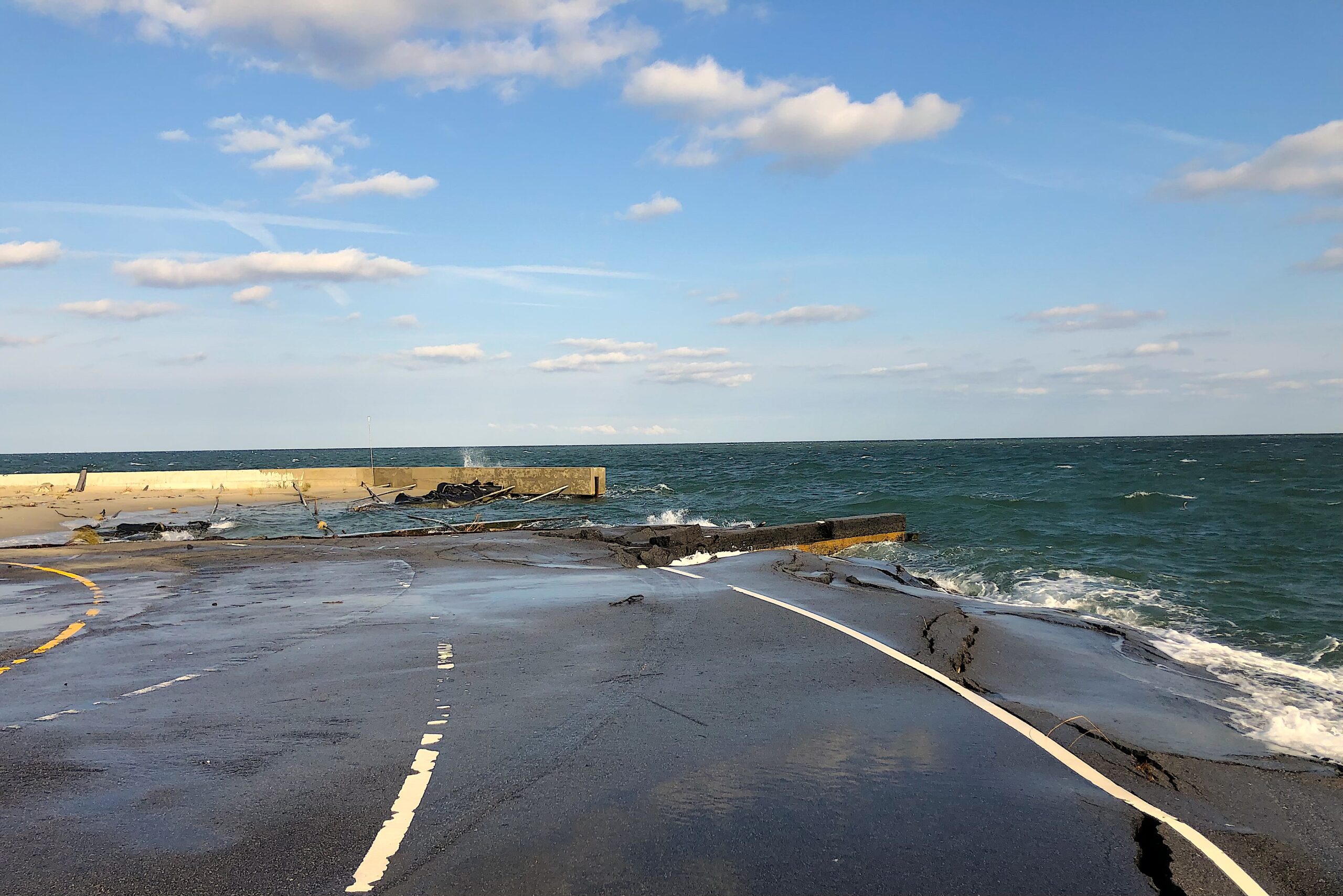
A new study from North Carolina State University and the United States Geological Survey details how satellite imagery may help identify forested areas that are being transformed into marshes and open water by sea-level rise — a process known as “regime change.”
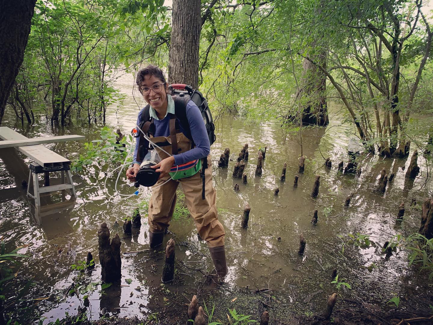
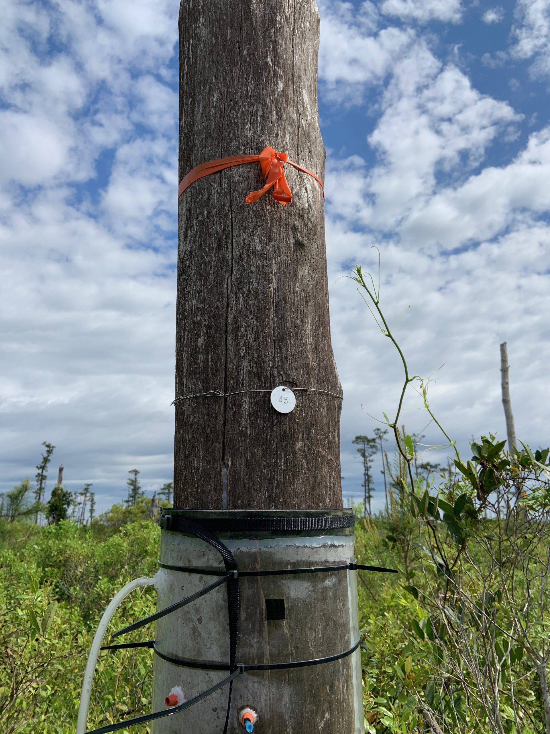
Lead author Melinda Martinez (above), a research ecologist with the USGS, first worked on the study as a Ph.D. student at NC State and as a North Carolina Sea Grant-Space Grant Fellow. She says that the study uncovered stark differences in regime changes between areas that were close together.
“In some areas where regime change was happening quickly, the transitions from forest to marsh or even open water happened within the span of five to six years,” Martinez says. “But then in other areas, sometimes places within the same site, it would happen over much longer periods of time. We knew there would be variation, but we didn’t expect that level of difference between areas in such proximity.”
Co-author Marcelo Ardón, associate professor at NC State’s College of Natural Resources, says that by predicting how an area is changing, this new modeling tool may help conservationists apply their limited funding in areas where it will be the most effective.
“We know that these coastal ecosystems are changing, and it’s hard to predict where and when the change is going to happen,” Ardón says. “What we found is that through remote sensing, you can get a trajectory of where an area is going. That way you can identify which areas might be better to put funding into; if an area might not need help, or if it is just too far into the regime change to pull it back. That in turn can help allocate those limited conservation dollars where they will make the most difference.”
Initially, researchers set out to determine if satellite imagery could be used to detect regime change in coastal wetlands by identifying the kinds of early-warning signals that have been found in other ecosystems. These results proved inconsistent, Ardón says. While the data could sometimes detect those signals, it also returned false positives and negatives.
Instead, researchers were able to use the same satellite data tool — a metric called the Normalized Difference Vegetation Index — to identify how vegetation health was changing. The NDVI works by using multiple wavelengths from satellite sensors that scan the earth at different times, collecting data on how much red light plants absorb and how much near-infrared light they reflect.
Using these values, researchers can estimate the NDVI, which effectively measures the greenness and health of plants in the area. The NDVI of a forest is higher than that of a marsh or open water, so it can be used to detect the changes of these systems.
While serving as a 2019 joint fellow with North Carolina Sea Grant and NC Space, Martinez also measured the greenhouse gas emissions of coastal wetland “ghost forests.” In addition to funding through her fellowship, the National Science Foundation also supported her new study.
the full study
“Detecting Trajectories of Regime Shifts and Loss of Resilience in Coastal Wetlands Using Remote Sensing”
More on Melinda Martinez and Her Research
Coastal Tidings: Do Ghosts Forests Perpetuate Global Warming
People and Places: Rising Stars
More on Sea Level Rise:
Vital Signs: Most of World’s Salt Marshes Likely Will Be Underwater by 2100
A Brief History of Sea Level Rise in North Carolina
Ice to Ocean: From the Sources of Sea Level Rise to the Coast of NC
NC’s True Ghost Story: A Tale of Carbon, Salt, and Sea Level Rise
Last Word: Coastal Change in North Carolina
Mapping the Future: Climate Change and Flooding in Coastal North Carolina
About the North Carolina Sea Grant-Space Grant Graduate Research Fellowship
Joey Pitchford is a communications specialist with NC State News Services.
- Categories: