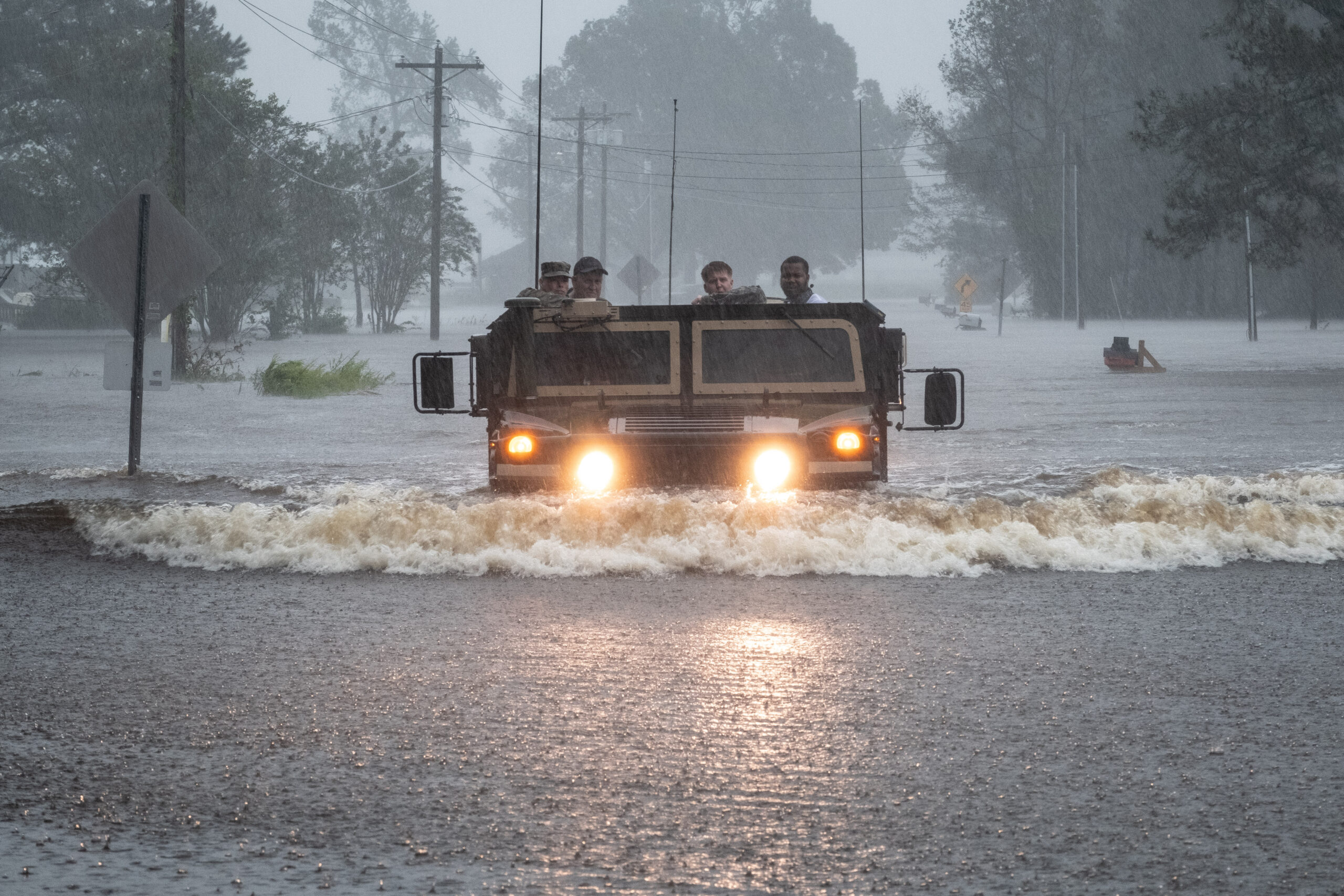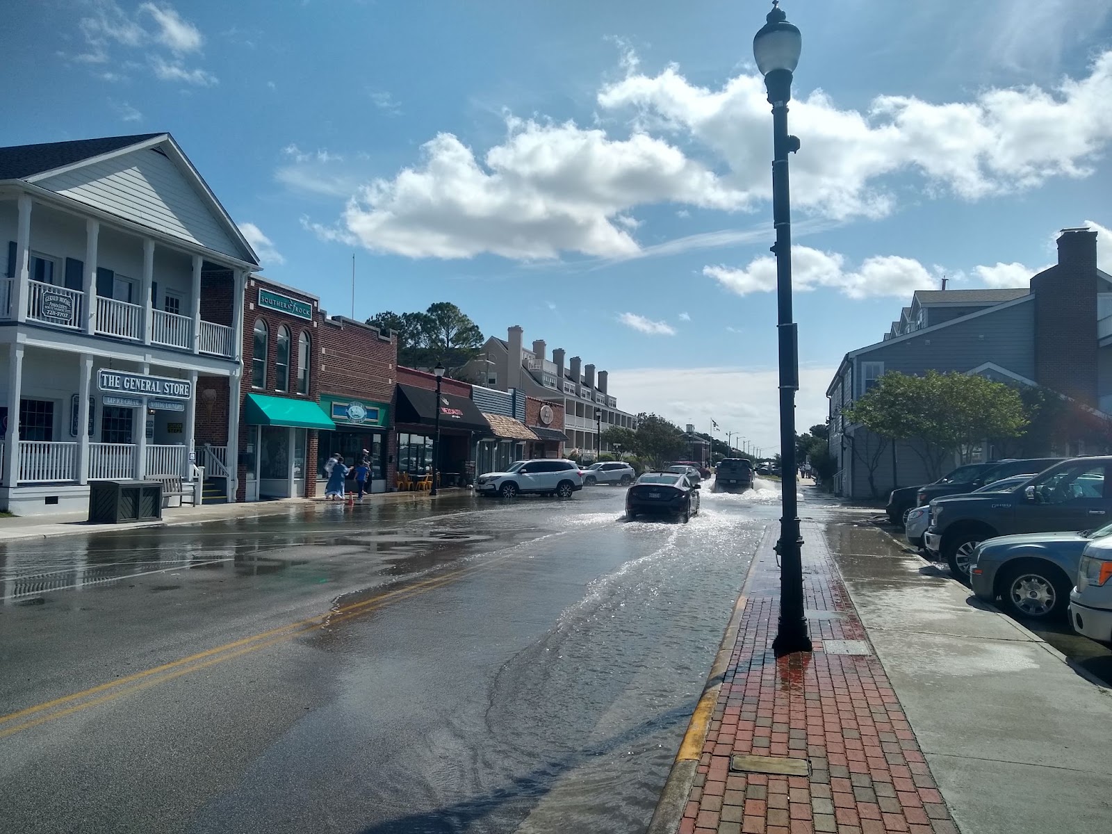
NC Sea Grant researcher Katherine Anarde and her team studied flooding in three NC, communities, Beaufort, Sea Level, and Carolina Beach, using a network of land-based sensors. The research offers a new picture of coastal flooding.
The study was published in Communications Earth and Environment and covered in the Washington Post in early June: “Many coastal communities are flooding more than we thought, researchers find.” It has also received coverage from The News & Observer and NC State.
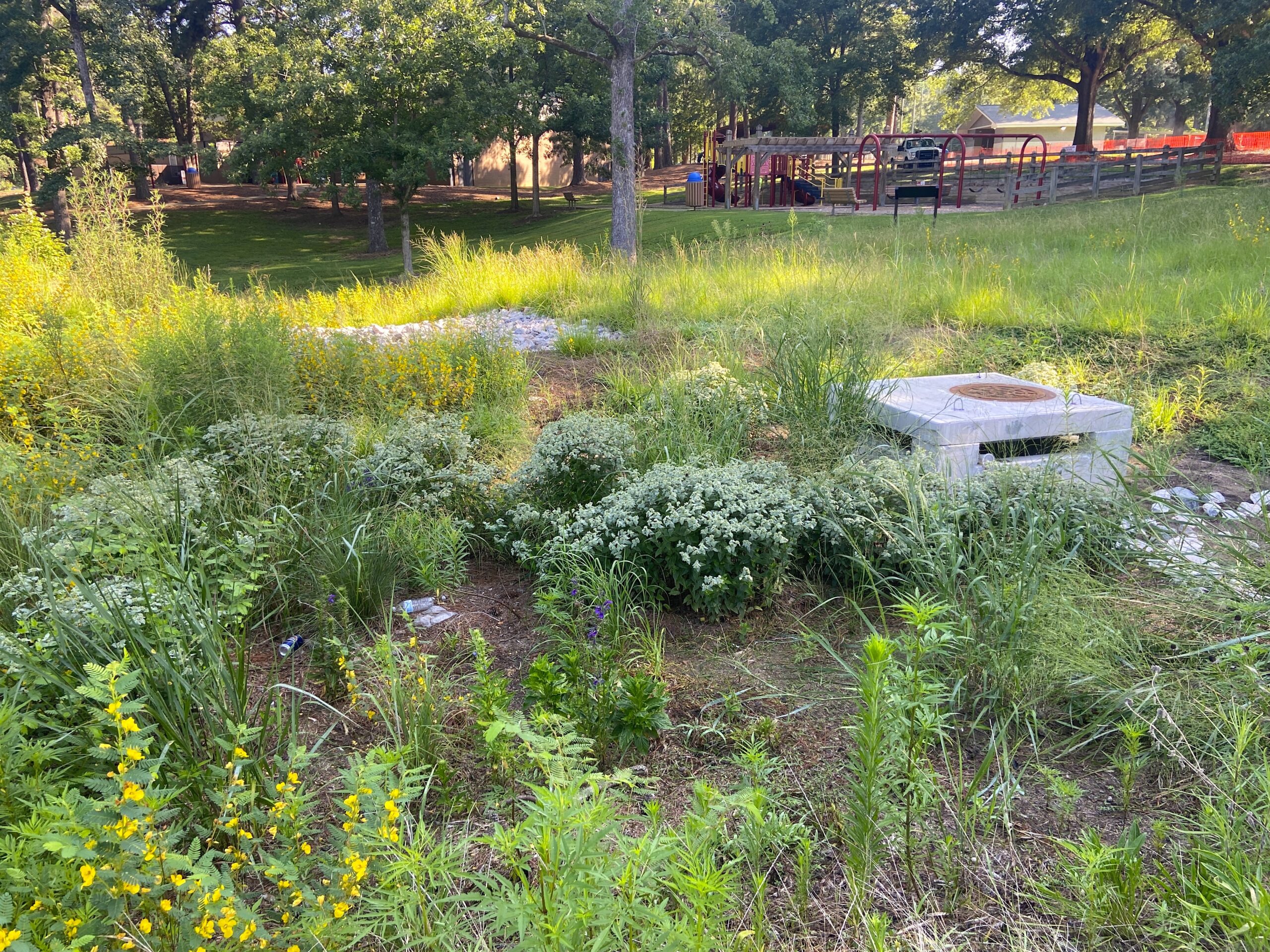
Partially funded by an NC Sea Grant Core Research Funding Grant, the research provided “new estimates of flood frequency” by installing an open-source network of sensors in stormwater drains and adjacent roadways and comparing its data to tide-gauges that record the height of rising and falling tides as well as other parameters such as wind speed and direction and temperature. What the team found was a “mismatch between actual flood incidence and tide-gauge threshold exceedances,” according to the Communications Earth and Environment article.
This means that coastal communities flood more often than the number of “high-tide flooding days” the National Oceanic and Atmospheric Administration’s tide-gauges project.
Given Anarde’s findings, land-based sensors offer an additional tool for measuring a range of flooding events. For the researchers, “Improving the accuracy of coastal flood measures is critical for identifying the impacts of sea-level rise and developing effective adaptation strategies.”
Read Coastwatch’s sunny day flooding story: https://ncseagrant.ncsu.edu/coastwatch/sunny-with-a-chance-of-floods/
- Categories: