
Advancing Coastal Resilience
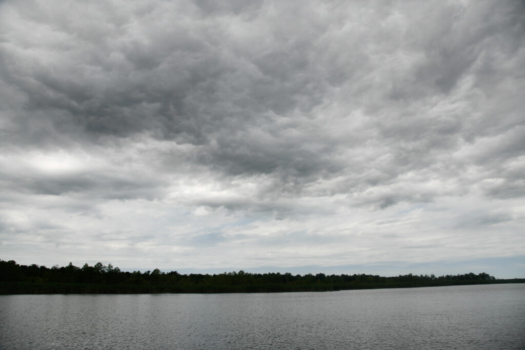
North Carolina is home to 22 inlets, more than 300 miles of oceanfront, and thousands of miles of estuarine shoreline along large sounds and tiny tidal creeks. Although these areas often are breathtaking, they also face a variety of hazards – including major climate threats that cause large social and economic losses.
As policymakers and planners reconceive of resilience as “bouncing forward,” North Carolina Sea Grant has spearheaded a wide range of projects designed to help our state plan, recover, respond, and adapt to hazards and heightening challenges.
N.C. Coastal Rivers Flood Mitigation
Community-level Resilience Planning
Coastal residents will continue to face exposure to sea level rise and climate change, as well as other associated coastal hazards. North Carolina Sea Grant has extensive expertise helping communities build and strengthen resilience in order to adapt to meet heightened challenges.
Most recently, this work has included collaboration on the N.C. Resilient Coastal Communities Program, which is designed to facilitate community-driven processes for setting resilience goals, assessing capacity, and identifying and prioritizing projects to enhance community resilience.
Sea Grant also has collaborated on demonstration projects with several individual municipalities on resilience planning, including these below.
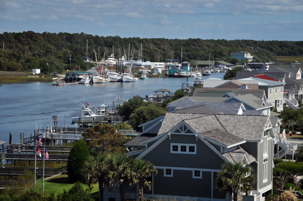
The Town of New Bern and New Hanover County
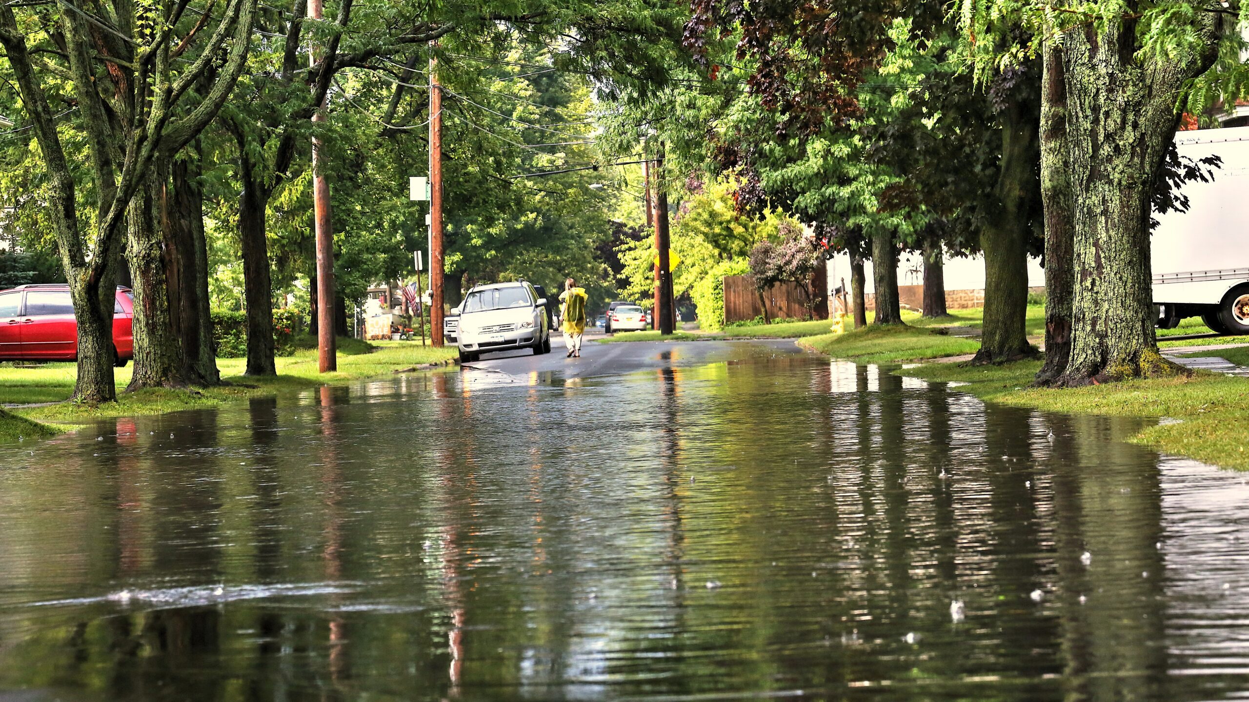
Nuisance flooding – also known as sunny-day or high-tide flooding – is pervasive in the Southeast. Over the last 20 years, the region has seen a 300% increase in nuisance flooding days. To help the Town of New Bern (in Craven County) and New Hanover County improve their resilience, North Carolina Sea Grant is partnering to design new locally-specific, cost-effective flood mitigation solutions that focus on transportation infrastructure.
structures, such as culverts, retention ponds, seawalls, roads, and dams) and green solutions (methods that mimic the natural environment, such as permeable surfaces or landscaping that reduces runoff).
Read “Balancing Green and Gray Infrastructure Solutions to Mitigate Coastal Flooding” in Coastwatch.
In addition, in New Bern’s Duffyfield neighborhood, an African American community that has suffered repeated flooding, we’re mentoring university students who are conducting neighborhood interviews, with plans to provide recommendations for the community’s best use of land.
For more on flooding, see mitigating climate impacts on infrastructure below.
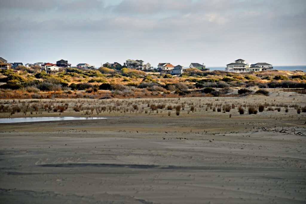
The Town of Nags Head
In 2015, the town launched FOCUS Nags Head, an effort to overhaul its land use policies and ordinances, which included a comprehensive plan that explicitly addresses climate change and sea level rise. As part of a collaborative team, North Carolina Sea Grant engaged the community in conversations about the town’s unique vulnerabilities – and how to adapt to them.
As was the case earlier with North Carolina Sea Grant’s work in the Town of Plymouth, the Town of Nags Head used Vulnerability and Consequences Adaptation Planning Scenarios (VCAPS). Sea Grant, the Social and Environmental Research Institute, and the University of South Carolina developed VCAPS. The town’s resulting plan placed it among the pioneering communities in North Carolina in adopting policy on sea level rise.
Hyde County
In partnership with the Hyde County Office of Planning and Economic Development, Sea Grant began working on a resiliency plan for the county in 2014. At the time, 83% of residents lived in the 100-year floodplain.
The collaboration created a flood planning and resilience guide, as well as flood planning resources on preparing property, packing emergency supplies, and what to expect in the aftermath of a flood.
For a broader look at flooding, see also mitigating climate impacts on infrastructure below.
Supporting Science and Practice on Sea Level Rise and Climate Change
As the global climate warms and sea levels rise, incremental changes to our watersheds can have enormous impacts. What does the latest research reveal? What does climate change mean for our state?
For years, North Carolina Sea Grant led the former NC Sentinel Site Cooperative, which leveraged resources and provided information related to the impacts of sea level rise on coastal habitats and communities. In December 2019, the NC Sentinel Site Cooperative held a seminar to provide a research update at the NC Coastal Conference. Sea Grant also maintains an informational archive of the NC Sentinel Site Cooperative’s newsletters.
North Carolina Sea Grant participated in the state’s development of the new N.C. Climate Risk Assessment and Resiliency Plan. Coastal resilience specialist Sarah Spiegler served on the state’s Natural and Working Lands Stakeholder Group’s Coastal Habitats Subcommittee, which advised on the plan.
In addition, North Carolina Sea Grant helps support the Surface Elevation Tables Community of Practice. This collaborative effort brings together scientists, resource managers, and town staff in NC who have installed SETs and are invested in understanding marsh elevation changes relative to rising seas. The collaborative network includes members from academic institutions, government agencies, and non-governmental organizations
Access the interactive NC SET map, and/or read more about SETs in Coastwatch.
North Carolina Sea Grant also regularly offers funding for students and established researchers, who capitalize on these opportunities to conduct new research on a wide range of subjects, including climate change and its associated impacts. This new science informs our programming and contributes valuable scholarship to several fields.
Mitigating Climate Impacts on Infrastructure
Rising seas, warming temperatures, extreme flooding events, and more intense tropical storms all present new challenges for our state. North Carolina Sea Grant evaluated and problem-solves the impacts of climate on the major systems essential for living on the coastal and inland.
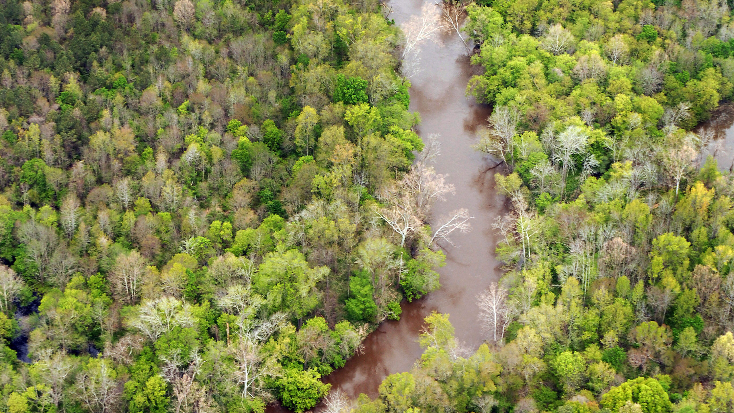
- The effects of riverine flooding on transportation
- Major storms have exposed glaring vulnerabilities to riverine flooding, which imperils public health and livelihoods, as well as threatening the transportation infrastructure. North Carolina Sea Grant has partnered on major initiative to characterize flooding impacts on the coastal plain and to identify mitigation strategies.
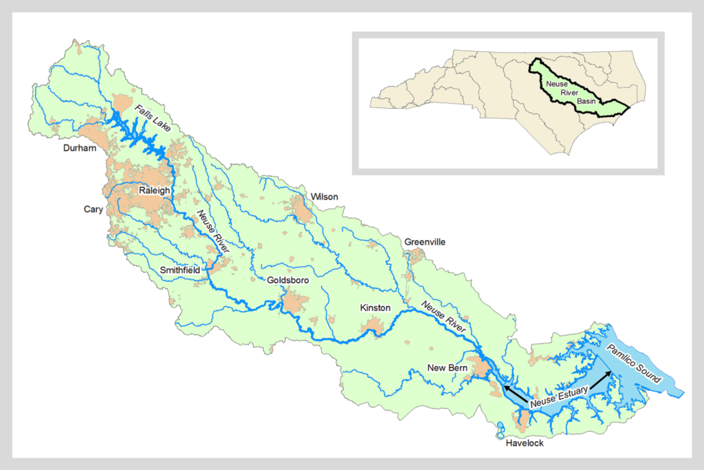
- We also lead a multidisciplinary team evaluating the opportunities, costs, and benefits of using natural infrastructure solutions throughout the Neuse Basin.
- Understanding climate change impacts on onsite wastewater treatment systems
- Climate change increasingly threatens the effectiveness of wastewater infrastructure, particularly in the coastal Carolinas. Research is underway to evaluate onsite wastewater technologies, under multiple climate condition, in order to help communities to cost-effectively plan and adapt wastewater infrastructure.
Providing Resources on Coastal Construction, Property, and Insurance.
As climate change brings more intense hurricanes and higher seas that threaten coastal communities, homeowners have near-term options that can help to reduce the risk of home and property damage.
North Carolina Sea Grant works with local, state, and federal partners to promote N.C. Department of Insurance and Insurance Institute for Buildings and Home Safety FORTIFIED Home building standards for new and existing buildings.
Adaptations based on Sea Grant recommendations can reduce wind and water damage to homes from hurricanes and other storms and lower insurance costs. For more information, read the Wind Insurance Incentives Memo.
In addition, keeping and maintaining certain trees can save money for property owners by reducing risk of roof damage, while also providing beauty, shade, and habitat for wildlife.
Broadly speaking, landscaping and development can contribute to both environmental sustainability and community resilience. North Carolina Sea Grant’s Coastal Landscapes Initiative is a collaborative effort to address landscaping from planning and design to installation and management.
The North Carolina Real Estate Commission offers a helpful guide on purchasing coastal real estate.
Interactive NC Surface Elevation Table map
Explore the interactive map and database of Surface Elevation Table (SET) stations in the coastal marshes of North Carolina