
Project Sentinel Towers
Capturing the storm data that protects lives and builds more resilient coastlines.
When a hurricane makes landfall, critical weather instruments often fail. Project Sentinel places tough, temporary towers directly on the beach where a hurricane will make landfall to capture important data on wind, waves, surge, erosion, and water quality during the storm. These data help protect lives today and build smarter, more resilient coasts for tomorrow.
The University of Florida has partnered with North Carolina Sea Grant to support a regional network that spans from Texas to North Carolina.
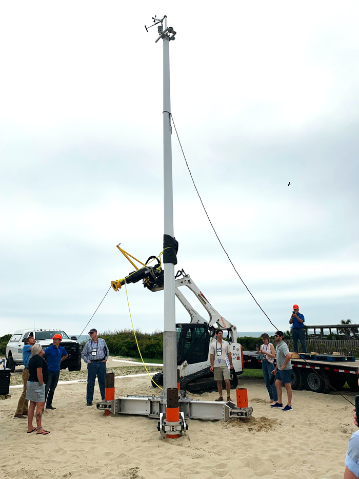
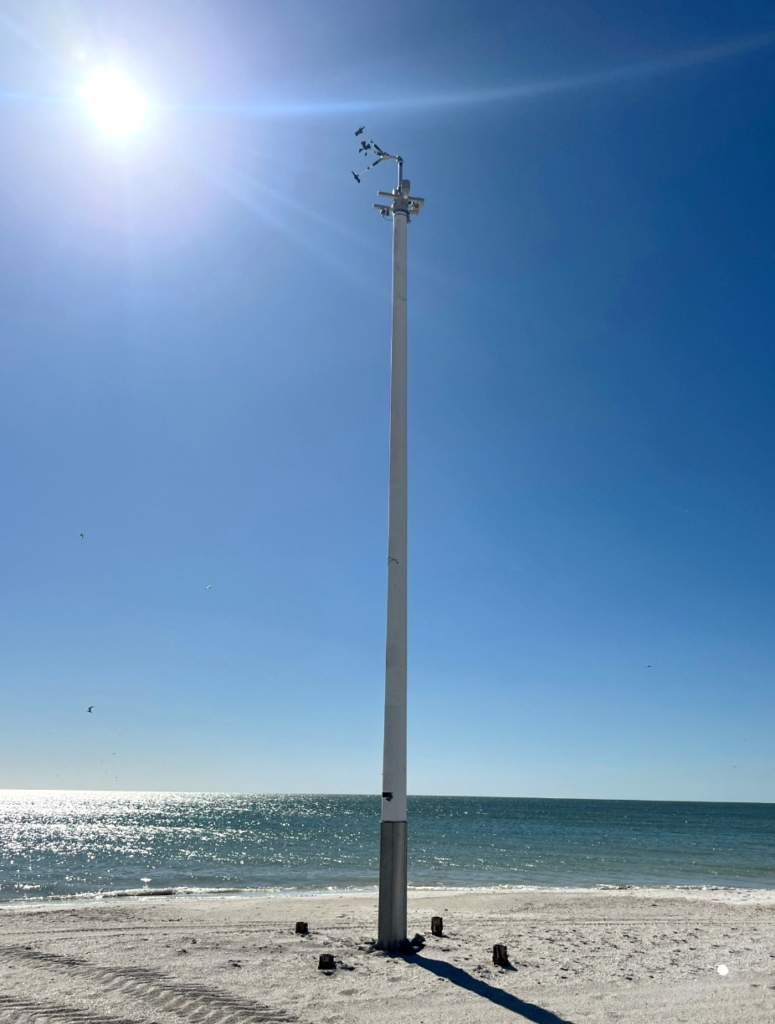
What is a Sentinel?
A Sentinel is a 30‑foot science tower that stands tall and strong. These portable towers are installed on the beach days before a hurricane makes landfall. The towers stream real-time measurements of wind speed, water depth, wave energy, key water‑quality indicators, and more to researchers. Sentinels are engineered to handle Category 5 conditions, giving scientists and emergency officials the shoreline data they’ve been missing for decades.
Why Sentinels Matter
Extreme weather along our coasts is getting more frequent, more complex, and costing coastal communities more. Storms are riding higher seas, pushing surge farther inland, and interacting with warmer, more energetic oceans. When hurricanes come, communities are facing more overlapping hazards that threaten tourism, fisheries, and public health.
Sentinel data provides the highest resolution data possible on what an area is truly experiencing. This data can be lifesaving by informing future engineering of buildings and providing clearer understanding of safety measures that can be taken. With this data, emergency officials can plan evacuations, road closures, reentry timing, utilities, and resource staging to be more successful. After the storm, the same datasets strengthen the next forecast by validating models, improving coastal flood maps, informing dune and beach restoration, and revealing how storm surge stress ecosystems. In short: better measurements lead to better decisions, and better decisions save lives and property.
Where Sentinels Are Deployed
Sentinels are deployed on beaches wherever hurricanes make landfall from Texas to North Carolina. Not every beach gets a tower for every storm because Sentinels are rare. Before installation of these portable towers, teams will scan for underground objects and carefully avoid sensitive areas like sea turtle or shorebird nesting grounds by working with conservation partners. The project coordinates with town, emergency, and state officials to make sure everyone is kept safe. The towers are temporary by design: they arrive just before impact and are removed as soon as it is safe.
From Data to Decisions
Project Sentinel turns storm chaos into actionable intelligence. By participating in this national study, data from hurricanes across the region can lead to a stronger future for coastal North Carolina. It gives communities the confidence to act early, the clarity to respond smartly, and the evidence to rebuild stronger. By measuring what truly happens at the water’s edge—where lives, livelihoods, and ecosystems intersect—Sentinel Towers help transform risk into resilience.