NC Space Grant and Sea Grant Announce New Joint Fellow
For Immediate Release
Contact: Sascha Medina, svmedina@ncsu.edu or Katie Mosher, kmosher@ncsu.edu
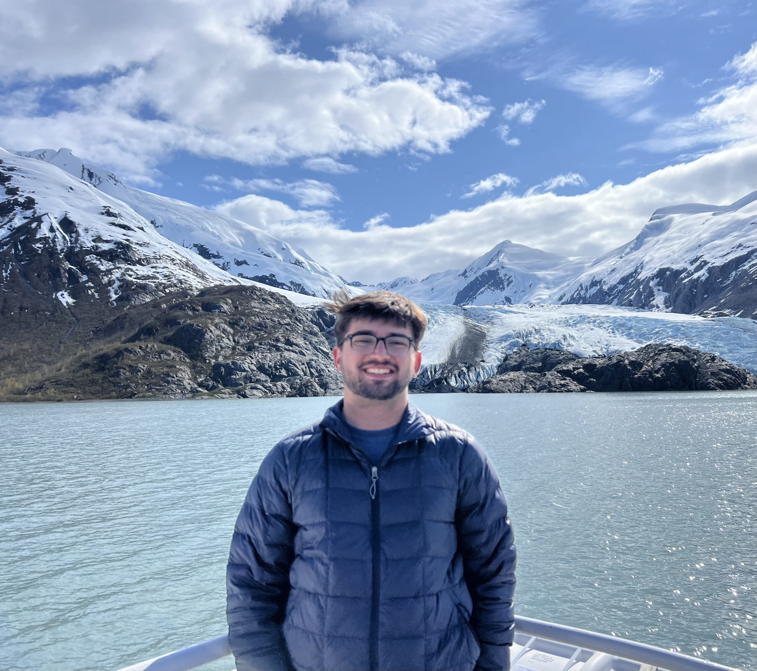
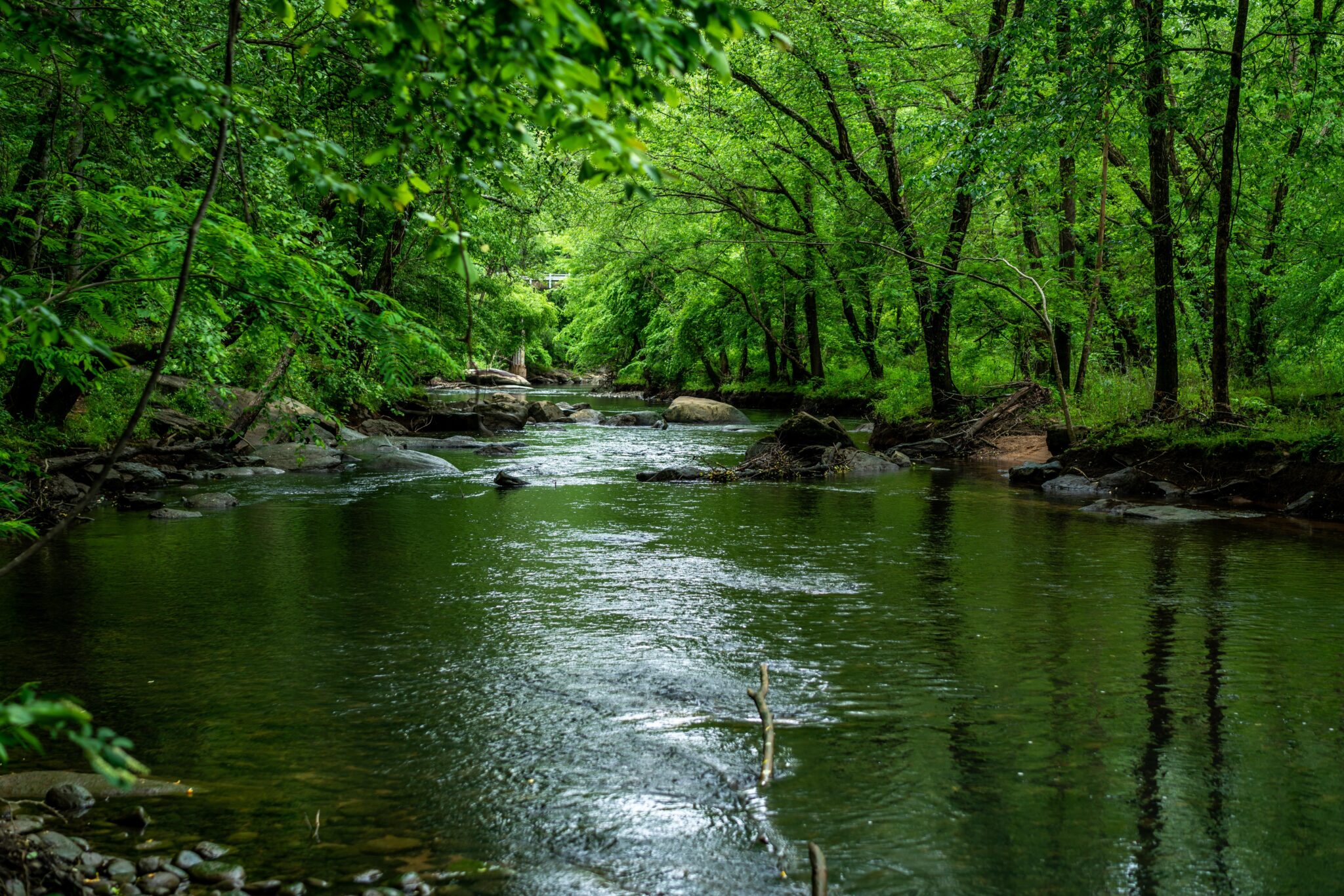
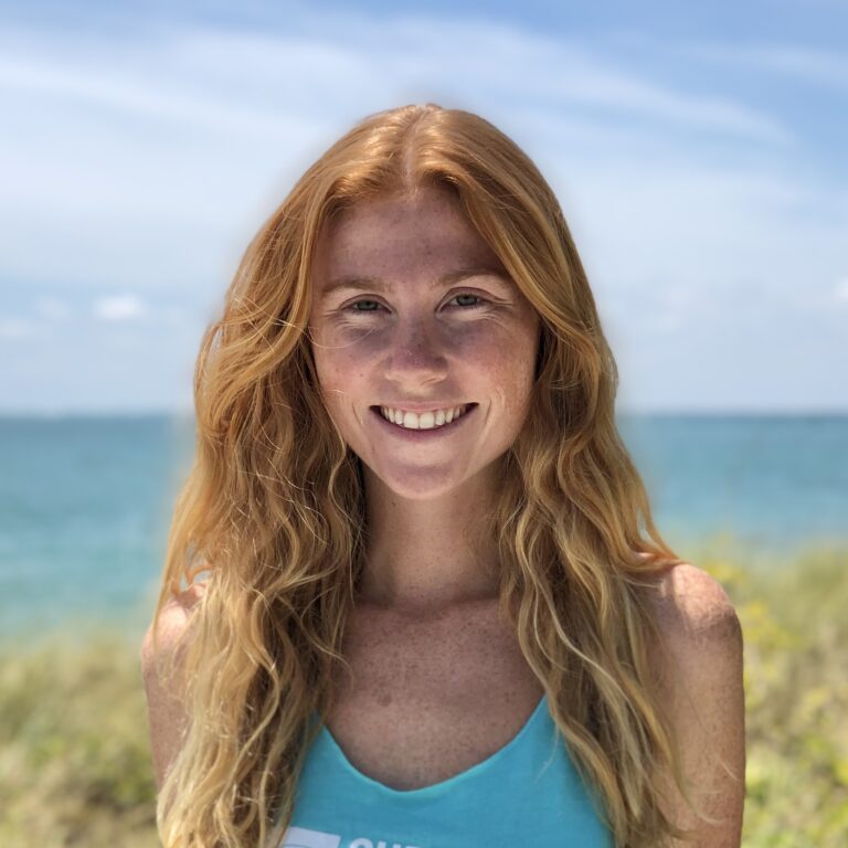
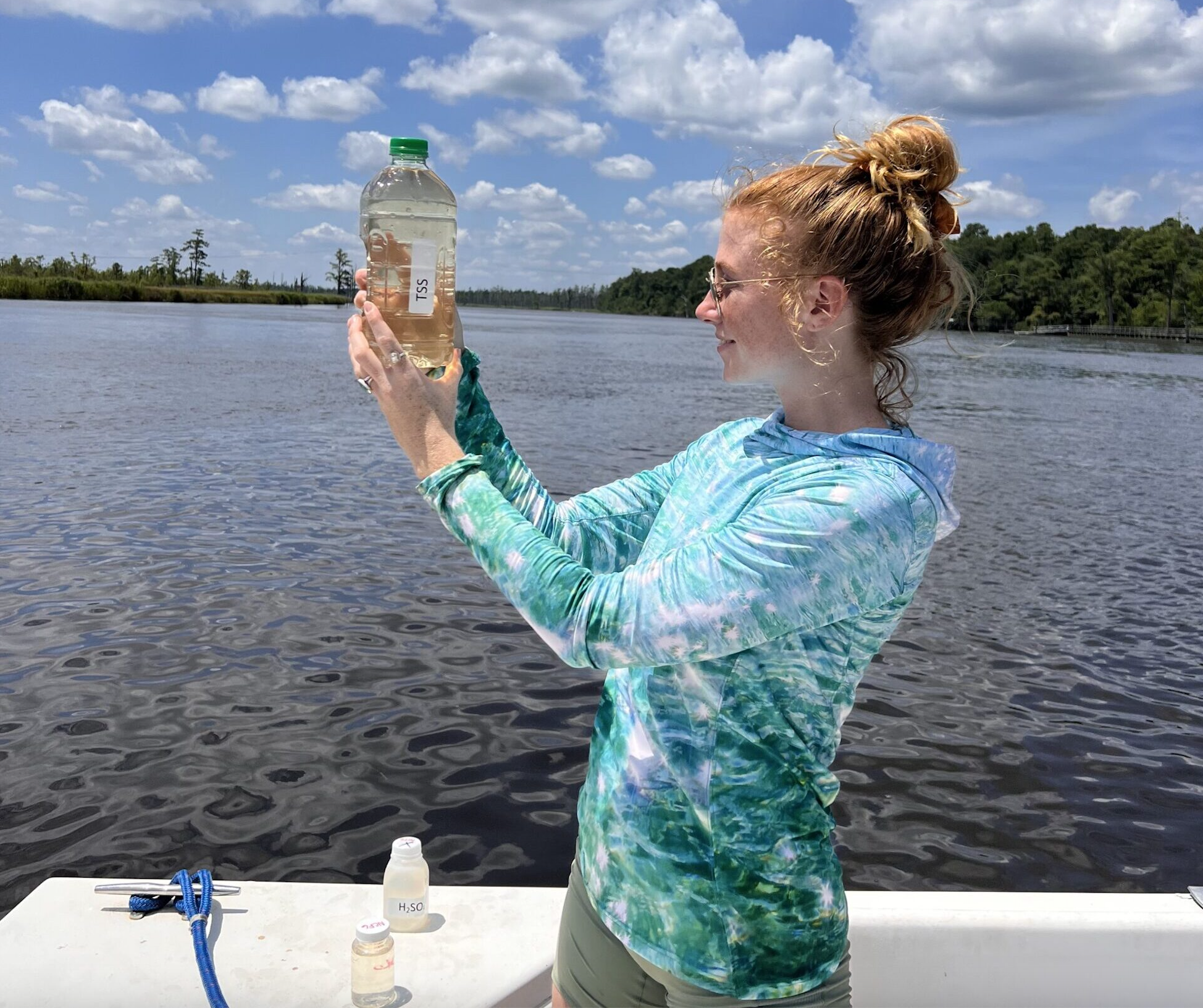
North Carolina Space Grant and Sea Grant are pleased to announce the programs’ 2023-24 joint research fellow. Colleen Brown, a Ph.D. student at the University of North Carolina at Wilmington’s Center for Marine Science, is studying water quality in the Lower Cape Fear River Watershed.
“The fellowship supports interdisciplinary approaches to address research needs for the state’s nearshore environments and coastal areas and watersheds,” said Sandy Canfield, assistant director of NC Space Grant.
Projects must utilize relevant measurement instruments and/or remote-sensing data resources from the National Aeronautics and Space Administration (NASA), the National Oceanic and Atmospheric Administration (NOAA), or other federal, state or commercially available datasets.
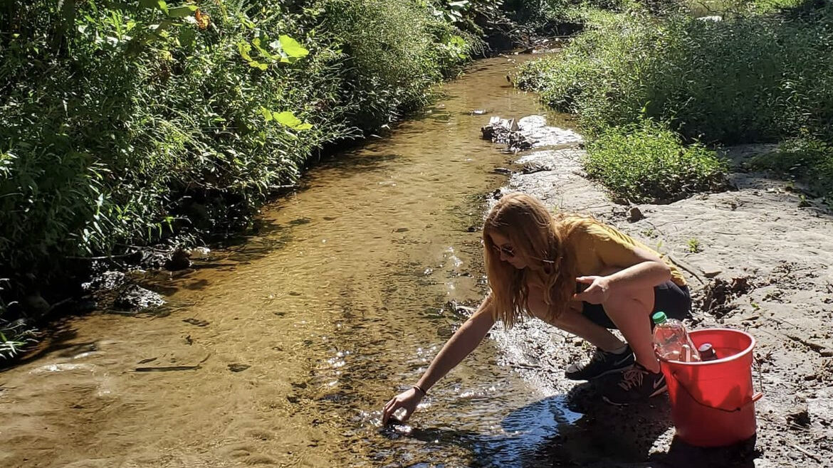
“Long term water quality monitoring is the only way we can truly assess how our surface waters are changing,” added John Fear, deputy director of NC Sea Grant. “This project builds on that existing infrastructure and will help us expand the utility of the archived data.”
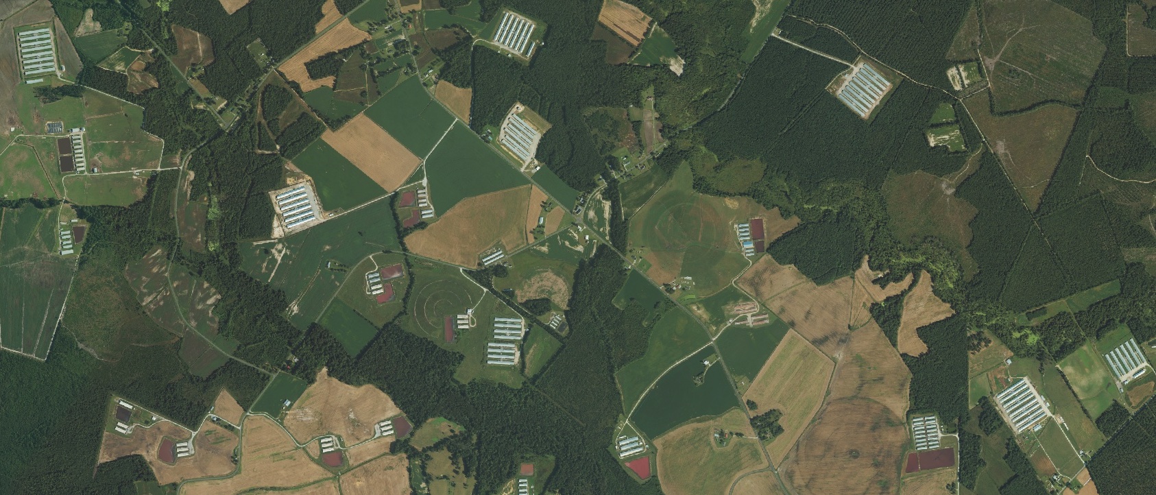
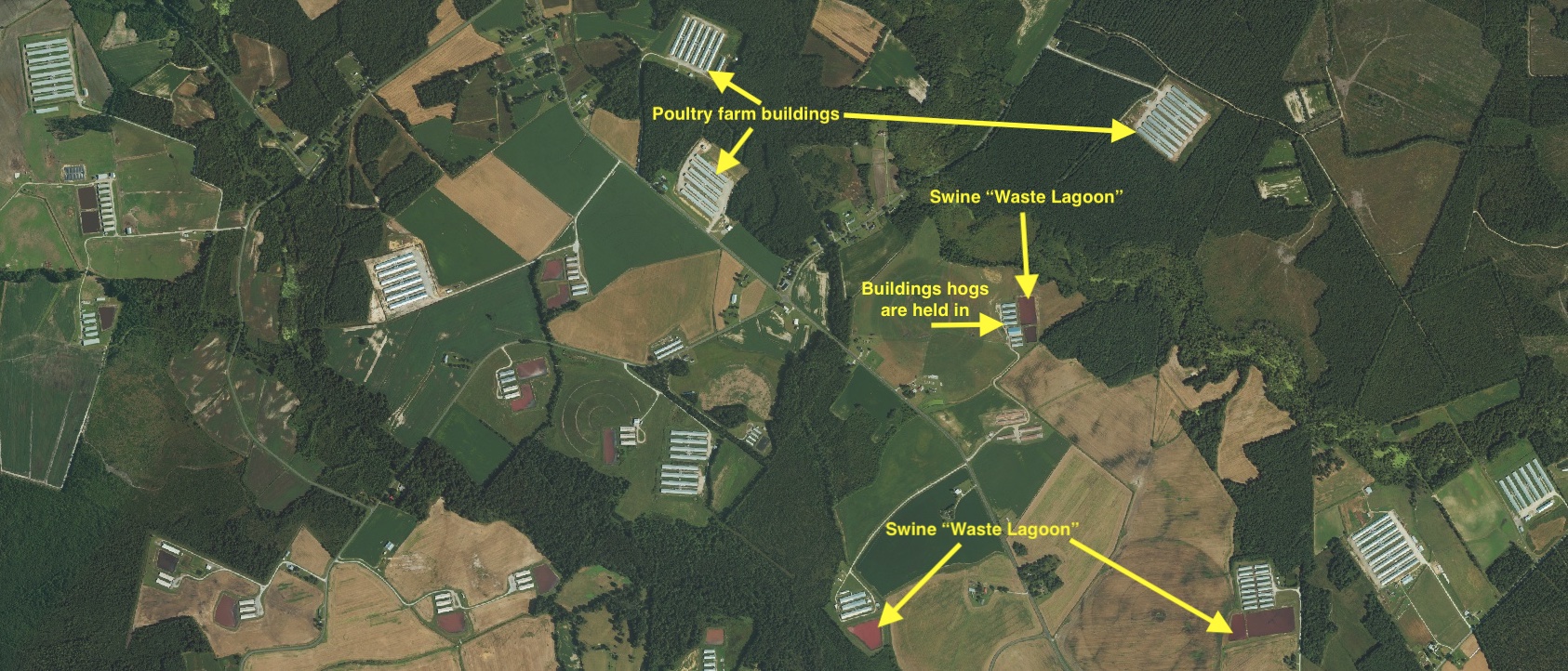
Brown’s research, titled “Integration of machine learning with long-term water quality monitoring to assess the impacts of the industrial agricultural industry in North Carolina from 1995-2023,” will use satellite imagery including from the USDA National Agriculture Imagery Program and Landsat 5, 7 and 8 as well as object-based classification machine learning to create publicly available datasets of the locations and concentration of industrial poultry and hog farms in the state.
She also will statistically determine how the industry’s growth has impacted water quality in the Lower Cape Fear River Watershed over time, using long-term water quality monitoring data from the Lower Cape Fear River Program, which includes stakeholders from universities, government, industry and the public.
“Application of space-based technology and machine learning to traditional water pollution research techniques is integral to the growth and future of sustainable water science and management,” Brown said.
Research Implications
This research focuses on industrial animal agriculture in the state, more specifically, poultry and hog or swine animal feed operations (AFOs) and concentrated animal feeding operations (CAFOs).
According to the United States Environmental Protection Agency (EPA), animal feeding operations are defined as “agricultural operations where animals are kept and raised in confined situations.” To be considered a concentrated animal feeding operation, the facility must meet the EPA’s regulatory definition, which is defined by the number of animals at a given facility or the method of waste discharge.
“All swine farms in this study are CAFOs and the majority of the poultry farms are CAFOs,” Brown adds.
Brown is particularly interested in the Cape Fear River Basin because it has a high concentration of CAFOs. In addition, while hog farming has remained constant since the 1990s due to a farm moratorium, poultry farming has increased, she says. Brown calculated, using the USDA National Agricultural Statistics Service (NASS) Quick Stats tool, that between 2000 and 2020, the reported number of chickens produced in the counties within the Lower Cape Fear River Watershed increased by 185 million.
She hopes to more accurately capture the number of poultry CAFOs in the state and related water quality impacts in the Lower Cape Fear River Watershed.
According to the EPA, improper management of waste from industrial animal agriculture is a source of pollution threatening water quality of rivers, streams, lakes and ponds. Eutrophication, or excess nutrients, and fecal bacteria pollution from animal waste can lead to toxic algal blooms, anoxic stream conditions, fish kills, and unsafe concentrations of fecal bacteria.
Brown says the CAFO waste management systems also affect communities living nearby. Well-water, a drinking water source for nearby communities, can be contaminated. Waste from hog CAFOs is sprayed onto fields, called ‘sprayfields,’ as fertilizer, she adds, and it can be carried by the wind onto nearby properties. “Understanding and quantifying the growth of this industry over the past three decades and its environmental impacts will be crucial to advising management solutions that will help the people living nearby and the watershed,” Brown said.
In addition to creating the user-friendly interactive map tool to communicate her findings, she also plans to make short videos breaking down scientific topics of this work. She will be partnering with the NC Environmental Justice Network, Southern Environmental Law Center, and Cape Fear River Watch to ensure information and results are distributed to the surrounding communities.
Rural communities across the state and nation have economic benefits from agriculture, Fear notes. The research results also can be used to improve industry operations and minimize environmental impacts, he adds.
North Carolina Space Grant and Sea Grant programs have released an additional joint Graduate Research Fellowship for a special call on ghost forest research. Applicants must use relevant measurement instruments and/or remote-sensing data resources from the National Aeronautics and Space Administration (NASA) and the National Oceanic and Atmospheric Administration (NOAA). Applications are due August 11, 2023.
##